| Shangruti شنگروتی | |
|---|---|
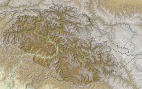  Shangruti شنگروتی Location in Gilgit-Baltistan | |
| Highest point | |
| Elevation | 17,531 ft (5,343 m) |
| Coordinates | 34°44′36″N 76°23′51″E / 34.7434530°N 76.3975707°E |
| Geography | |
| Location | Skardu District, Gilgit-Baltistan, Pakistan |
| Parent range | Ladakh Range |
Shangruti (Urdu: شنگروتی) is a mountain peak located on the Pakistani side of the Line of Control in Kharmang District, Gilgit-Baltistan, Pakistan. It has a height of 17,531 feet (5,343 m).[1]
The east–west-running watershed ridge next to Shangruti, referred to as the Shangruti ridge, serves as the de facto border between Pakistan-administered Baltistan and Indian-administered Ladakh.[2]
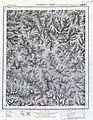
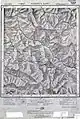
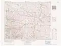
Maps
See also
References
- ↑ Malik, V. P. (2010). Kargil from Surprise to Victory (paperback ed.). HarperCollins Publishers India. p. 191. ISBN 9789350293133.
- ↑ Cheema, Brig Amar (2015), The Crimson Chinar: The Kashmir Conflict: A Politico Military Perspective, Lancer Publishers, p. 519, ISBN 978-81-7062-301-4
External links
- Aerial view of Shantruti overlooking Batalik, Google maps. Retrieved 29 November 2019.
This article is issued from Wikipedia. The text is licensed under Creative Commons - Attribution - Sharealike. Additional terms may apply for the media files.