| Sheep Mountain | |
|---|---|
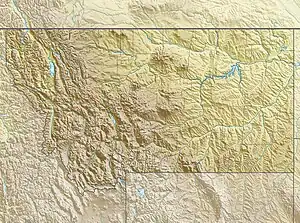 Sheep Mountain Location in Montana 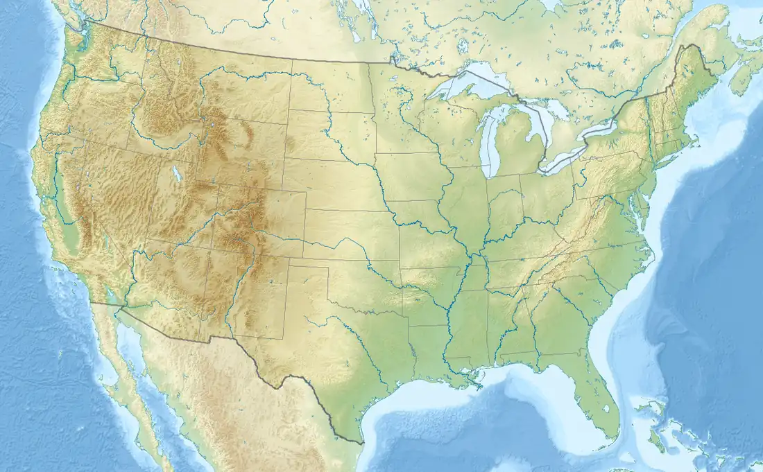 Sheep Mountain Location in the United States | |
| Highest point | |
| Elevation | 8,537 ft (2,602 m)[1] NAVD 88 |
| Prominence | 1,009 ft (308 m)[1] |
| Listing | Mountains in Flathead County |
| Coordinates | 48°20′30″N 113°28′15″W / 48.34167°N 113.47083°W[2] |
| Geography | |
| Location | Flathead County, Montana, U.S. |
| Parent range | Lewis Range |
| Topo map | USGS Blacktail, MT |
| Climbing | |
| Easiest route | class 3 |
Sheep Mountain (8,537 feet (2,602 m)) is located in the Lewis Range, Glacier National Park in the U.S. state of Montana.[3]
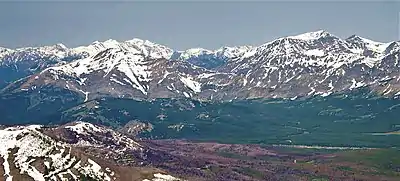
Aerial view of Elk Mountain (left) and Sheep Mountain (right)
See also
References
- 1 2 "Sheep Mountain, Montana". Peakbagger.com. Retrieved January 16, 2019.
- ↑ "Sheep Mountain". Geographic Names Information System. United States Geological Survey, United States Department of the Interior. Retrieved January 16, 2019.
- ↑ Blacktail, MT (Map). TopoQwest (United States Geological Survey Maps). Retrieved January 16, 2019.
This article is issued from Wikipedia. The text is licensed under Creative Commons - Attribution - Sharealike. Additional terms may apply for the media files.