Shitpyit[1]
ဆင်ပြေး | |
|---|---|
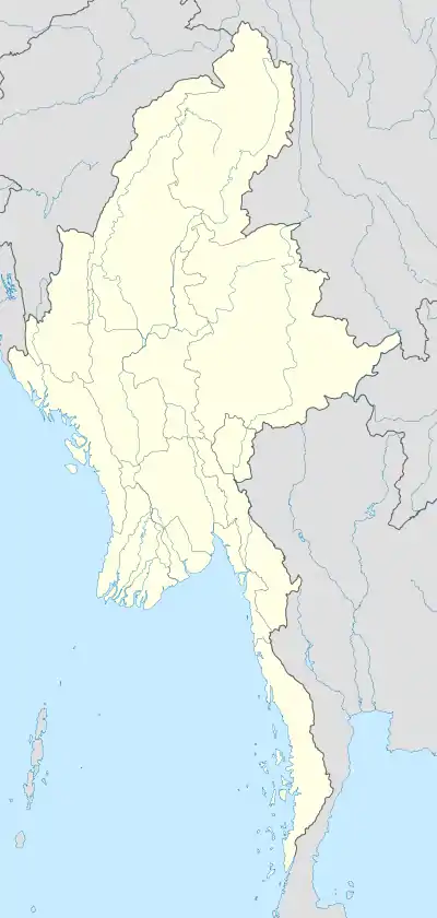 Shitpyit[4] Location in Myanmar | |
| Coordinates: 15°36′0″N 98°6′0″E / 15.60000°N 98.10000°E | |
| Country | |
| State | Karen State |
| District | Kawkareik District |
| Township | Kyain Seikgyi Township |
| Population | |
| • Religions | Buddhism |
| Time zone | UTC+6.30 (MST) |
| Area code | 58[5] |
Shitpyit (Burmese: ဆင်ပြေး) is a village in Kyain Seikgyi Township, Kawkareik District, in the Karen State of Myanmar. It is a location on the Death Railway.
References
- ↑ Burma 1:250,000 topographic map, Series U542, ND 47-02 Ye U.S. Army Map Service, December 1959
- Burma 1:250,000 topographic map, Series U542, ND 47-02 Ye U.S. Army Map Service, December 1959
- Burma 1:250,000 topographic map, Series U542, ND 47-02 Ye U.S. Army Map Service, December 1959
- ↑ Burma 1:250,000 topographic map, Series U542, ND 47-02 Ye U.S. Army Map Service, December 1959
- ↑ "Myanmar Area Codes". Retrieved 2009-04-10.
External links
- "Shitpyit Map — Satellite Images of Phabya" Maplandia World Gazetteer
Capital: Hpa-an | ||
| Hpa-an District |  | |
| Hpapun District | ||
| Kawkareik District | ||
| Myawaddy District | ||
| Cities and towns | ||
This article is issued from Wikipedia. The text is licensed under Creative Commons - Attribution - Sharealike. Additional terms may apply for the media files.