Sidi Amar | |
|---|---|
.jpg.webp) | |
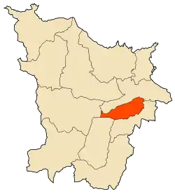 | |
 Sidi Amar | |
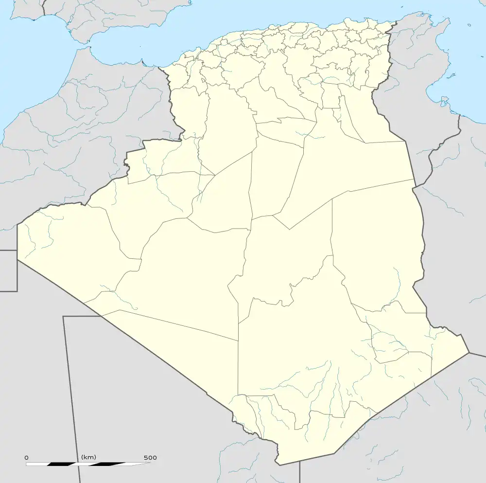
| Coordinates: 36°49′3″N 7°43′4″E / 36.81750°N 7.71778°E | |
| Country | Algeria |
| Province | Annaba |
| Population (2008) | |
| • Total | 83,254 |
| Time zone | UTC+1 (West Africa Time) |
Sidi Amar is a town in north-eastern Algeria.
| Annaba District | .svg.png.webp) | |
|---|---|---|
| Aïn El Berda District | ||
| El Hadjar District | ||
| Berrahal District | ||
| Chetaïbi District | ||
| El Bouni District | ||
36°56′23″N 7°31′42″E / 36.93972°N 7.52833°E
This article is issued from Wikipedia. The text is licensed under Creative Commons - Attribution - Sharealike. Additional terms may apply for the media files.