| Sigua River | |
|---|---|
.jpg.webp) Lower Sigua Falls in Yona | |
 | |
| Location | |
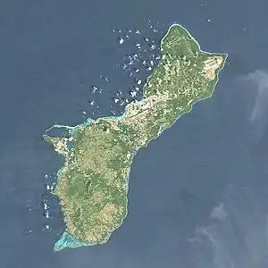
| Country | Guam |
| Physical characteristics | |
| Source | |
| • location | Mount Alutum |
| Mouth | |
• location | Pago river |
• coordinates | 13°26′06″N 144°45′12″E / 13.4350000°N 144.7533333°E |
The Sigua River is a river in the United States territory of Guam.[1] It empties into the Pago River.[2]
See also
References
- ↑ U.S. Geological Survey Geographic Names Information System: Sigua River
- ↑ Comfort, Christina M.; Walker, Gordon O.; McManus, Margaret A.; Fujimura, Atsushi G.; Ostrander, Chris E.; Donaldson, Terry J. (September 2019). "Physical dynamics of the reef flat, channel, and fore reef areas of a fringing reef embayment: An oceanographic study of Pago Bay, Guam". Regional Studies in Marine Science. 31: 100740. doi:10.1016/j.rsma.2019.100740.
This article is issued from Wikipedia. The text is licensed under Creative Commons - Attribution - Sharealike. Additional terms may apply for the media files.