Silwani | |
|---|---|
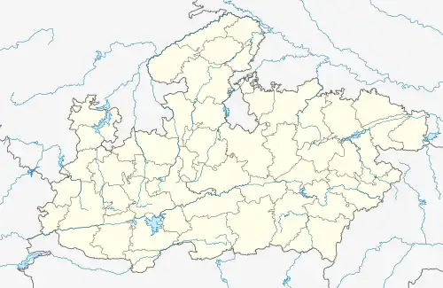 Silwani Location in Madhya Pradesh, India 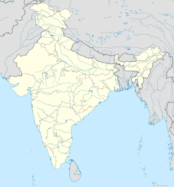 Silwani Silwani (India) | |
| Coordinates: 23°18′N 78°26′E / 23.30°N 78.44°E | |
| Country | |
| State | Madhya Pradesh |
| District | Raisen District |
| Population (2011) | |
| • Total | 18,623 |
| Languages | |
| • Official | Hindi |
| Time zone | UTC+5:30 (IST) |
| ISO 3166 code | IN-MP |
| Vehicle registration | MP-38 |
Silwani is a city and a nagar panchayat in Raisen district of Madhya Pradesh, India. It is also a tehsil and a assembly constituency.[1]
Geography
Silwani is located at 23.30°N 78.44°E. It has an average elevation of 303 metres (994 feet). It is located near Vindhyachal Range and surrounded by mountains.
Demographics
The Silwani Nagar Panchayat had a population of 18,623 of which 9,655 were males and 8,968 were females, as per Census India 2011. The literacy rate of Silwani city is 82.53 % higher than the state average of 69.32 %.[2]
Transportation
Silwani is well connected with roads. Many roads passing from here, Udaipura, Sagar, Bareli, Gairatganj, Gadarwara, Raisen connected from roads, Daily bus service available from here.
See also
References
- ↑ "Population, population in the age group 0-6 and literates by sex - Cities/Towns (in alphabetic order): 2001". Census India. Archived from the original on 16 June 2004.
- ↑ "Silwani Nagar Panchayat City Population Census 2011-2024 | Madhya Pradesh". www.census2011.co.in.
This article is issued from Wikipedia. The text is licensed under Creative Commons - Attribution - Sharealike. Additional terms may apply for the media files.