Skotterud | |
|---|---|
Village | |
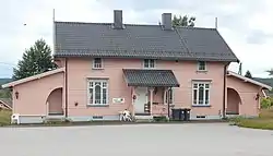 View of a house in the centre of Skotterud | |
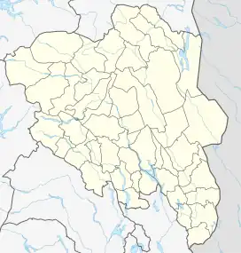 Skotterud Location of the village 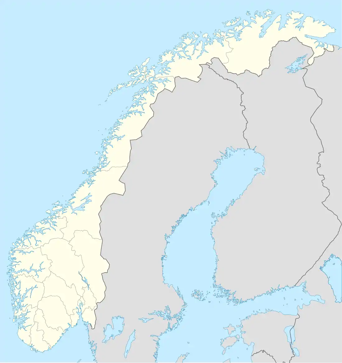 Skotterud Skotterud (Norway) | |
| Coordinates: 59°58′58″N 12°07′41″E / 59.9828°N 12.12809°E | |
| Country | Norway |
| Region | Eastern Norway |
| County | Innlandet |
| District | Vinger |
| Municipality | Eidskog Municipality |
| Area | |
| • Total | 1.51 km2 (0.58 sq mi) |
| Elevation | 140 m (460 ft) |
| Population (2021)[1] | |
| • Total | 1,360 |
| • Density | 903/km2 (2,340/sq mi) |
| Time zone | UTC+01:00 (CET) |
| • Summer (DST) | UTC+02:00 (CEST) |
| Post Code | 2230 Skotterud |
Skotterud is the administrative centre of Eidskog Municipality in Innlandet county, Norway. The village is located along the Norwegian National Road 2 and the Kongsvingerbanen railway line. Skotterud sits about 25 kilometres (16 mi) south of the town of Kongsvinger and about 6 kilometres (3.7 mi) northwest of the village of Magnor which sits just inside the border with Sweden.[3]
The 1.51-square-kilometre (370-acre) village has a population (2021) of 1,360 and a population density of 903 inhabitants per square kilometre (2,340/sq mi).[1]
The village is located about 9 kilometres (5.6 mi) from Sweden, so there is some commercial and tourist traffic in the village. The local industry is heavily associated with forestry, including some sawmills and other timber-related businesses.[3]
References
- 1 2 3 Statistisk sentralbyrå (1 January 2021). "Urban settlements. Population and area, by municipality".
- ↑ "Skotterud, Eidskog". yr.no. Retrieved 20 March 2022.
- 1 2 Thorsnæs, Geir, ed. (1 November 2021). "Skotterud". Store norske leksikon (in Norwegian). Kunnskapsforlaget. Retrieved 20 March 2022.