| Slievemore | |
|---|---|
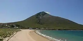 Slievemore from Dugort | |
| Highest point | |
| Elevation | 671 m (2,201 ft) |
| Prominence | 582 m (1,909 ft) |
| Parent peak | Croaghaun |
| Listing | Marilyn, Hewitt |
| Naming | |
| Native name | Sliabh Mór (Irish) |
| English translation | 'big mountain' |
| Pronunciation | Irish: [ˈʃlʲiəw mˠoːɾˠ] |
| Geography | |
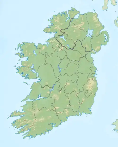 Slievemore Location in Ireland÷ | |
| Location | County Mayo, Ireland |
| Parent range | Achill Island |
| OSI/OSNI grid | F650086 |
| Topo map | OSi Discovery 30 |
Slievemore (Irish: Sliabh Mór, meaning 'big mountain') is the second highest peak on Achill Island after Croaghaun, in County Mayo, Ireland. Its elevation is 671 m (2,201 ft).
Archaeology
In 1991, the Achill Archaeological Field School was opened. That year, the Deserted Village Project was created to perform archaeology excavations in Slievemore.[1]
See also
References
- ↑ "Achill Archaeological Field School 2009". Achill Archaeological Field School. Retrieved 7 March 2009.
External links
- mountain views.ie
- 1994 RTÉ report about the deserted village
Mountains and hills of Connacht | |||||||
|---|---|---|---|---|---|---|---|
| Achill Island |  | ||||||
| Dartry Mountains | |||||||
| Maumturks | |||||||
| Mweelrea Mountains | |||||||
| Nephin Range | |||||||
| Ox Mountains | |||||||
| Partry Mountains | |||||||
| Sheeffry Range | |||||||
| Benna Beola |
| ||||||
| Others | |||||||
This article is issued from Wikipedia. The text is licensed under Creative Commons - Attribution - Sharealike. Additional terms may apply for the media files.