| Smagne | |
|---|---|
 | |
  | |
| Location | |
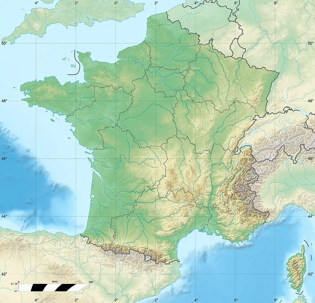
| Country | France |
| Physical characteristics | |
| Source | |
| • location | Bourneau |
| • coordinates | 46°33′13″N 00°49′40″W / 46.55361°N 0.82778°W |
| • elevation | 105 m (344 ft) |
| Mouth | |
• location | Lay |
• coordinates | 46°32′13″N 01°11′57″W / 46.53694°N 1.19917°W |
• elevation | 7 m (23 ft) |
| Length | 50.3 km (31.3 mi) |
| Basin size | 190 km2 (73 sq mi) |
| Discharge | |
| • average | 1.54 m3/s (54 cu ft/s) |
| Basin features | |
| Progression | Lay→ Bay of Biscay |
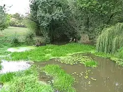
The Smagne (French pronunciation: [smaɲ]) is a 50.3-kilometre-long (31.3 mi) river in the Vendée département, western France.[1] Its source is near Bourseguin, a hamlet in Bourneau. It flows generally west. It is a left tributary of the Lay into which it flows between Bessay and Mareuil-sur-Lay-Dissais.
Communes along its course
This list is ordered from source to mouth:
References
This article is issued from Wikipedia. The text is licensed under Creative Commons - Attribution - Sharealike. Additional terms may apply for the media files.