Smolnik | |
|---|---|
 | |
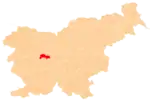
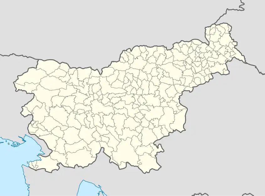 Smolnik Location in Slovenia | |
| Coordinates: 46°4′47.73″N 14°17′8.33″E / 46.0799250°N 14.2856472°E | |
| Country | |
| Traditional region | Upper Carniola |
| Statistical region | Central Slovenia |
| Municipality | Dobrova–Polhov Gradec |
| Area | |
| • Total | 3.62 km2 (1.40 sq mi) |
| Elevation | 784.8 m (2,574.8 ft) |
| Population (2020) | |
| • Total | 160 |
| • Density | 44/km2 (110/sq mi) |
| [1] | |
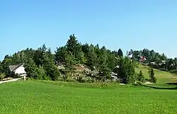
Smolnik (pronounced [ˈsmoːlnik] or [ˈsmoːu̯nik]) is a dispersed settlement in the hills northwest of Polhov Gradec in the Municipality of Dobrova–Polhov Gradec in the Upper Carniola region of Slovenia.[2]
Name
Smolnik was first mentioned in written records in 1498 as Smollnick, Smulnick, and Smolnick. The name is derived from the Slovene word smola 'resin' and refers to a place where resin was gathered.[3]
References
- ↑ Statistical Office of the Republic of Slovenia
- ↑ Dobrova–Polhov Gradec municipal site
- ↑ Snoj, Marko (2009). Etimološki slovar slovenskih zemljepisnih imen. Ljubljana: Modrijan. p. 384.
External links
 Media related to Smolnik at Wikimedia Commons
- Smolnik on Geopedia
| Settlements | Administrative seat: Dobrova
|  |
|---|---|---|
| Landmarks |
| |
| Notable people | ||
This article is issued from Wikipedia. The text is licensed under Creative Commons - Attribution - Sharealike. Additional terms may apply for the media files.