Snap, Kentucky | |
|---|---|
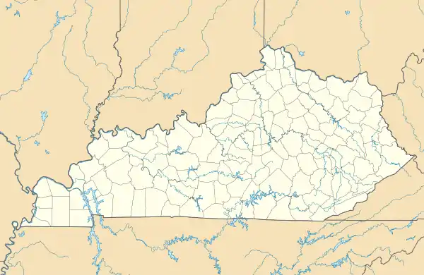 Snap Location within the state of Kentucky  Snap Snap (the United States) | |
| Coordinates: 37°24′11″N 86°9′22″W / 37.40306°N 86.15611°W | |
| Country | United States |
| State | Kentucky |
| County | Grayson |
| Elevation | 587 ft (179 m) |
| Time zone | UTC-6 (Central (CST)) |
| • Summer (DST) | UTC-5 (CST) |
| GNIS feature ID | 509087[1] |
Snap is an unincorporated community in Grayson County, Kentucky, United States.
References
Municipalities and communities of Grayson County, Kentucky, United States | ||
|---|---|---|
| Cities | 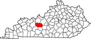 Location of Grayson County, Kentucky | |
| CDP | ||
| Other unincorporated communities | ||
| Footnotes | ‡This populated place also has portions in an adjacent county or counties | |
This article is issued from Wikipedia. The text is licensed under Creative Commons - Attribution - Sharealike. Additional terms may apply for the media files.