Somogyhatvan | |
|---|---|
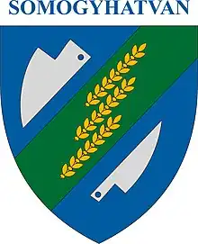 Coat of arms of Somogyhatvan, Hungary | |
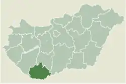 Location of Baranya county in Hungary | |
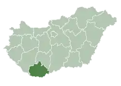
 Somogyhatvan Location of Somogyhatvan | |
| Coordinates: 46°06′43″N 17°42′51″E / 46.11195°N 17.71413°E | |
| Country | |
| County | Baranya |
| Area | |
| • Total | 13.52 km2 (5.22 sq mi) |
| Population (2004) | |
| • Total | 374 |
| • Density | 27.66/km2 (71.6/sq mi) |
| Time zone | UTC+1 (CET) |
| • Summer (DST) | UTC+2 (CEST) |
| Postal code | 7921 |
| Area code | 73 |
External links
- Street map (in Hungarian)
This article is issued from Wikipedia. The text is licensed under Creative Commons - Attribution - Sharealike. Additional terms may apply for the media files.