| Sonnighorn | |
|---|---|
| Pizzo Bottarello | |
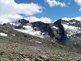 Sonnighorn (left) | |
| Highest point | |
| Elevation | 3,487 m (11,440 ft) |
| Prominence | 340 m (1,120 ft)[1] |
| Parent peak | Weissmies |
| Isolation | 3.1 km (1.9 mi) |
| Listing | Alpine mountains above 3000 m |
| Coordinates | 46°4′27.3″N 8°1′20.3″E / 46.074250°N 8.022306°E |
| Geography | |
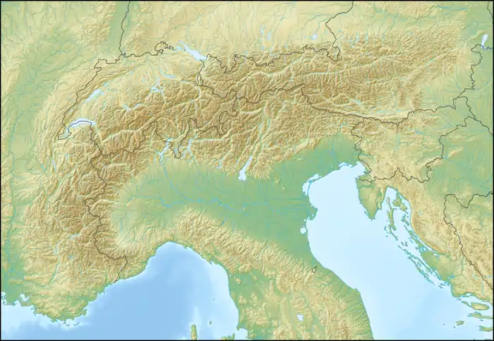 Sonnighorn Location in the Alps | |
| Location | Valais, Switzerland/Piedmont, Italy |
| Parent range | Pennine Alps |
The Sonnighorn (it Pizzo Bottarello) is a mountain of the Pennine Alps, located on the Swiss-Italian border. The closest locality is Saas Almagell on the west side.
References
External links
This article is issued from Wikipedia. The text is licensed under Creative Commons - Attribution - Sharealike. Additional terms may apply for the media files.