| Southend | |
|---|---|
.jpg.webp) The Tigers Head pub, Southend, London | |
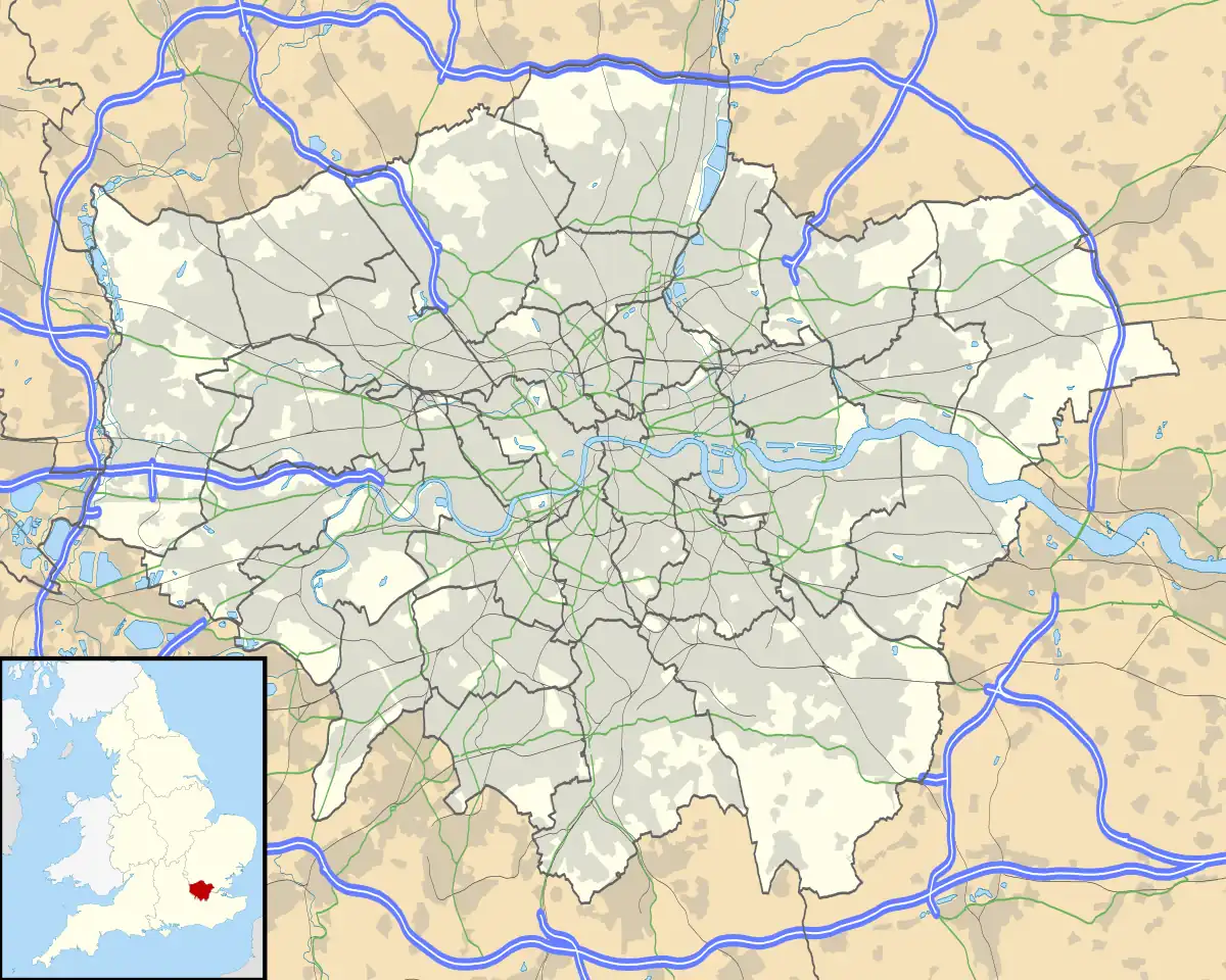 Southend Location within Greater London | |
| OS grid reference | TQ373721 |
| London borough | |
| Ceremonial county | Greater London |
| Region | |
| Country | England |
| Sovereign state | United Kingdom |
| Post town | LONDON |
| Postcode district | SE6 |
| Dialling code | 020 |
| Police | Metropolitan |
| Fire | London |
| Ambulance | London |
| UK Parliament | |
| London Assembly | |
Southend is a small residential locality in the London Borough of Lewisham in southeast London, England. It was historically a rural village at the south of the parish of Lewisham, Kent that remained undeveloped until after the First World War. It is now a residential suburb, with some large retail stores, within the built-up area of London.
History
The name is derived from 'the south end of the parish of Lewisham'.[1]
Southend, Lewisham became part of the Lewisham District in the metropolitan area of London in 1855. However, the village of Southend was separated from the urban development in the north by a swathe of farmland.[2]
Geography
Bordering Bellingham, Downham, Sydenham and Beckenham the area isn't often called Southend, more commonly being known as a part of Bellingham. The area is also part of the SE6 postcode district associated with Catford.
Transport
Two railway stations: Beckenham Hill and Lower Sydenham are nearby. Both stations are served by Southeastern. For London Buses, routes 181 and 352 serve the area.[3][4]
References
- ↑ Mills, D. (2000). Oxford Dictionary of London Place Names. Oxford.
- ↑ London Borough of Lewisham: Bromley Road, Southend Village Accessed 12 September 2013
- ↑ Transport for London: Buses from Beckenham Hill & Southend Accessed 12 September 2013
- ↑ Transport for London: Buses from Lower Sydenham Accessed 12 September 2013
| Districts |  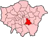 | |
|---|---|---|
| Attractions | ||
| Parks and open spaces |
| |
| Constituencies | ||
| Rail stations | ||
| Other topics | ||
| ||