Soutpan | |
|---|---|
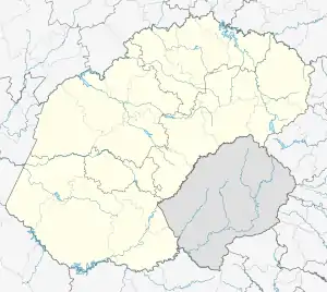  Soutpan 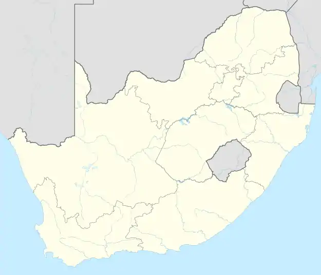 Soutpan | |
| Coordinates: 28°44′46″S 26°04′19″E / 28.746°S 26.072°E | |
| Country | South Africa |
| Province | Free State |
| District | Lejweleputswa |
| Municipality | Masilonyana |
| Main Place | Masilonyana NU |
| Area | |
| • Total | 44.79 km2 (17.29 sq mi) |
| Population (2011)[1] | |
| • Total | 186 |
| • Density | 4.2/km2 (11/sq mi) |
| Racial makeup (2011) | |
| • Black African | 29.7% |
| • White | 70.3% |
| First languages (2011) | |
| • Afrikaans | 80.0% |
| • Sotho | 8.1% |
| • Tswana | 7.0% |
| • English | 4.9% |
| Time zone | UTC+2 (SAST) |
| PO box | 9356 |
| Area code | 051 |
Soutpan is a town in Lejweleputswa District Municipality in the Free State province of South Africa.
Village 45 km west of Brandfort. Afrikaans for ‘salt pan or depression’, the name is derived from a large geographical feature of that type, on the slopes of which the Florisbad archaeological site is situated.[2]
References
- 1 2 3 4 "Sub Place Soutpan". Census 2011.
- ↑ "Dictionary of Southern African Place Names (Public Domain)". Human Science Research Council. p. 411.
Municipalities and communities of Lejweleputswa District Municipality, Free State | ||
|---|---|---|
District seat: Welkom | ||
| Masilonyana | .svg.png.webp) Lejweleputswa District within South Africa | |
| Tokologo | ||
| Tswelopele | ||
| Matjhabeng | ||
| Nala | ||
This article is issued from Wikipedia. The text is licensed under Creative Commons - Attribution - Sharealike. Additional terms may apply for the media files.