Sovodenj | |
|---|---|
Village | |
 | |
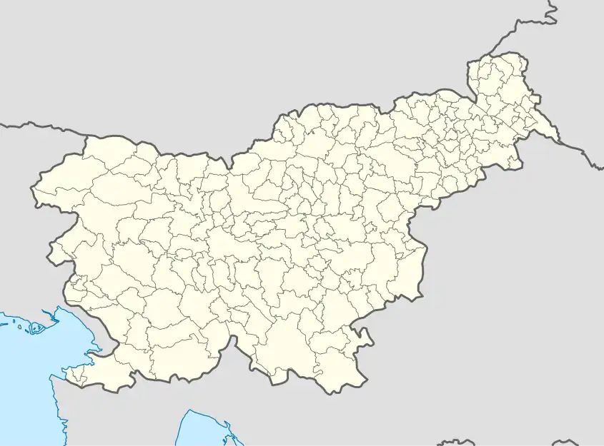 Sovodenj Location in Slovenia | |
| Coordinates: 46°5′6.5″N 14°2′20.38″E / 46.085139°N 14.0389944°E | |
| Country | |
| Traditional region | Upper Carniola |
| Statistical region | Upper Carniola |
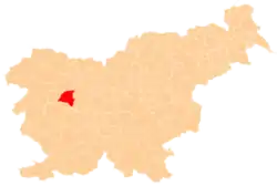
| Municipality | Gorenja Vas–Poljane |
| Area | |
| • Total | 1.02 km2 (0.39 sq mi) |
| Elevation | 577.8 m (1,895.7 ft) |
| Population (2020) | |
| • Total | 169 |
| • Density | 170/km2 (430/sq mi) |
| [1] | |
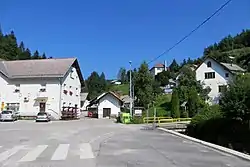
Sovodenj (pronounced [sɔˈʋoːdən]) is a village in the Municipality of Gorenja Vas–Poljane in the Upper Carniola region of Slovenia. It lies at the confluence of four streams: the Javorščica, Podosojnica, Podjelovščica, and Zakoparska Grapa. At Sovodenj these form the Hobovščica, a tributary of the Poljane Sora River.[2]
References
External links
 Media related to Sovodenj at Wikimedia Commons
- Sovodenj on Geopedia
This article is issued from Wikipedia. The text is licensed under Creative Commons - Attribution - Sharealike. Additional terms may apply for the media files.