St. Anthony Airport | |||||||||||
|---|---|---|---|---|---|---|---|---|---|---|---|
| Summary | |||||||||||
| Airport type | Public | ||||||||||
| Operator | Transport Canada | ||||||||||
| Location | St. Anthony, Newfoundland and Labrador | ||||||||||
| Time zone | NST (UTC−03:30) | ||||||||||
| • Summer (DST) | NDT (UTC−02:30) | ||||||||||
| Elevation AMSL | 108 ft / 33 m | ||||||||||
| Coordinates | 51°23′31″N 056°04′59″W / 51.39194°N 56.08306°W | ||||||||||
| Map | |||||||||||
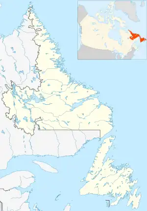 CYAY Location in Newfoundland and Labrador | |||||||||||
| Runways | |||||||||||
| |||||||||||
| Statistics (2010) | |||||||||||
| |||||||||||
St. Anthony Airport (IATA: YAY, ICAO: CYAY) is located 19 nautical miles (35 km; 22 mi) west northwest of St. Anthony, Newfoundland and Labrador, Canada.
Airlines and destinations
| Airlines | Destinations |
|---|---|
| PAL Airlines | Blanc-Sablon, Goose Bay, St. John's, Wabush |
References
- ↑ Canada Flight Supplement. Effective 0901Z 16 July 2020 to 0901Z 10 September 2020.
- ↑ Total Aircraft movements by class of operation — NAV CANADA flight service stations, Total aircraft movements by class of operation
External links
- Accident history for YAY at Aviation Safety Network
- Past three hours METARs, SPECI and current TAFs for St. Anthony Airport from Nav Canada as available.
| By name | |
|---|---|
| By location indicator | |
| By province/territory | |
| By area | |
| National Airports System | |
| Related | |
| |
This article is issued from Wikipedia. The text is licensed under Creative Commons - Attribution - Sharealike. Additional terms may apply for the media files.