Sunny Valley, Oregon | |
|---|---|
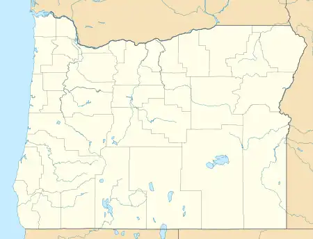
.jpg.webp) Grave Creek Bridge in Sunny Valley | |
 Sunny Valley  Sunny Valley | |
| Coordinates: 42°38′20″N 123°22′32″W / 42.63889°N 123.37556°W | |
| Country | United States |
| State | Oregon |
| County | Josephine |
| Elevation | 1,260 ft (380 m) |
| Time zone | UTC-8 (Pacific (PST)) |
| • Summer (DST) | UTC-7 (PDT) |
| ZIP codes | 97497 |
Sunny Valley is an unincorporated community in Josephine County, Oregon, United States. Sunny Valley lies just east of exit number 71, the Sunny Valley exit, on Interstate 5.[1]
Grave Creek, a tributary of the Rogue River, flows through Sunny Valley.[1] Grave Creek Bridge, a covered bridge, carries Sunny Valley Loop Road over the creek.[2]
References
- 1 2 "United States Topographic Map". United States Geological Survey. Retrieved January 20, 2016 – via Acme Mapper.
- ↑ "Grave Creek Covered Bridge" (PDF). Oregon Department of Transportation. Retrieved January 19, 2016.
Municipalities and communities of Josephine County, Oregon, United States | ||
|---|---|---|
| Cities | 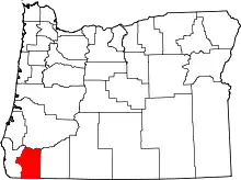 Josephine County map | |
| CDPs | ||
| Other communities | ||
| Ghost towns | ||
This article is issued from Wikipedia. The text is licensed under Creative Commons - Attribution - Sharealike. Additional terms may apply for the media files.