Svyatorussovka
Святоруссовка | |
|---|---|
Selo | |
 Svyatorussovka 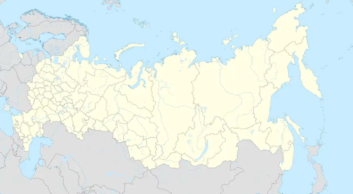 Svyatorussovka | |
| Coordinates: 50°37′N 129°09′E / 50.617°N 129.150°E[1] | |
| Country | Russia |
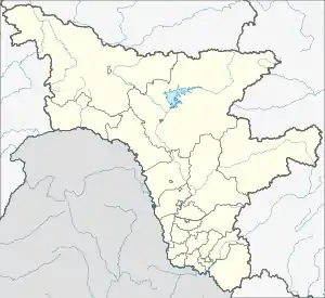
| Region | Amur Oblast |
| District | Romnensky District |
| Time zone | UTC+9:00 |
Svyatorussovka (Russian: Святоруссовка) is a rural locality (a selo) and the administrative center of Svyatorussovsky Selsoviet of Romnensky District, Amur Oblast, Russia. The population was 307 as of 2018.[2] There are 3 streets.
Geography
Svyatorussovka is located on the right bank of the Belaya River, 19 km southwest of Romny (the district's administrative centre) by road. Lyubimoye is the nearest rural locality.[3]
References
This article is issued from Wikipedia. The text is licensed under Creative Commons - Attribution - Sharealike. Additional terms may apply for the media files.