Téapleu | |
|---|---|
Town and sub-prefecture | |
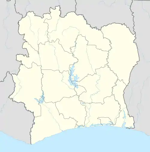 Téapleu Location in Ivory Coast | |
| Coordinates: 7°2′N 8°8′W / 7.033°N 8.133°W | |
| Country | |
| District | Montagnes |
| Region | Tonkpi |
| Department | Zouan-Hounien |
| Population (2014)[1] | |
| • Total | 39,224 |
| Time zone | UTC+0 (GMT) |
Téapleu (also spelled Béapleu) is a town in the far west of Ivory Coast. It is a sub-prefecture of Zouan-Hounien Department in Tonkpi Region, Montagnes District.
Téapleu was a commune until March 2012, when it became one of 1126 communes nationwide that were abolished.[2]
In 2014, the population of the sub-prefecture of Téapleu was 39,244.[3]
Villages
The 33 villages of the sub-prefecture of Téapleu and their population in 2014 are:[3]
- Bauhiéleu (1 026)
- Béapleu (746)
- Blinleu (962)
- Bopleu 1 (900)
- Bopleu 2 (109)
- Boyapleu 1 (228)
- Boyapleu 2 (157)
- Danta (565)
- Déagbangompleu (910)
- Douatouo 1 (1 020)
- Douatouo 2 (411)
- Douépleu (1 230)
- Finneu (2 027)
- Gbéapieu (703)
- Gbloaleu (1 424)
- Glèpleu (409)
- Kouyatouo (926)
- Léampleu-Goualeu (274)
- Lieupleu (990)
- Lonneu (2 419)
- Méampleu (626)
- Ouelleu (1 167)
- Petit Zéalé (114)
- Soguinneu (250)
- Téapleu (7 740)
- Tieupleu (1 013)
- Tiévopleu 1 (617)
- Tiévopleu 2 (690)
- Trodapleu (208)
- Vatouo (898)
- Vétouo (2 146)
- Zéalé (5 008)
- Zohouéleu (1 331)
Notes
- ↑ "Côte d'Ivoire". geohive.com. Retrieved 7 December 2015.
- ↑ "Le gouvernement ivoirien supprime 1126 communes, et maintient 197 pour renforcer sa politique de décentralisation en cours", news.abidjan.net, 7 March 2012.
- 1 2 "RGPH 2014, Répertoire des localités, Région Tonkpi" (PDF). ins.ci. Retrieved 5 August 2019.
Regional seat: Man | ||
| Biankouma Department | 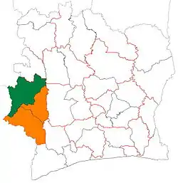 | |
| Danané Department | ||
| Man Department | ||
| Sipilou Department | ||
| Zouan-Hounien Department | ||
* also a commune | ||
This article is issued from Wikipedia. The text is licensed under Creative Commons - Attribution - Sharealike. Additional terms may apply for the media files.