Tafiré | |
|---|---|
Town, sub-prefecture, and commune | |
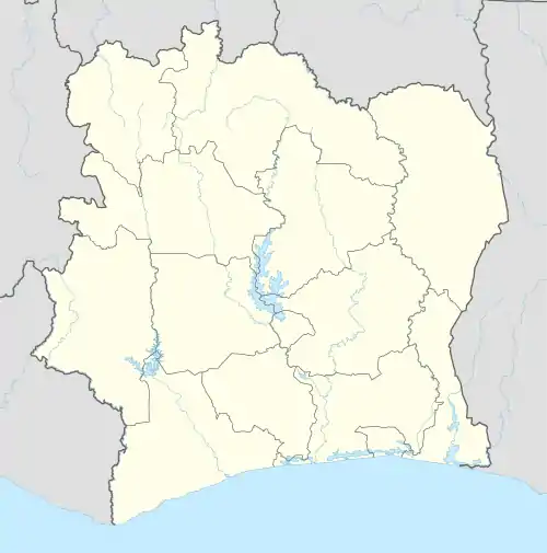 Tafiré Location in Ivory Coast | |
| Coordinates: 9°4′N 5°10′W / 9.067°N 5.167°W | |
| Country | |
| District | Vallée du Bandama |
| Region | Hambol |
| Department | Niakaramandougou |
| Area | |
| • Total | 1,310 km2 (510 sq mi) |
| Population (2021 census)[1] | |
| • Total | 32,240 |
| • Density | 25/km2 (64/sq mi) |
| • Town | 17,191[2] |
| (2014 census) | |
| Time zone | UTC+0 (GMT) |
Tafiré is a town in northern Ivory Coast. It is a sub-prefecture and commune of Niakaramandougou Department in Hambol Region, Vallée du Bandama District.
Villages
The 8 villages of the sub-prefecture of Tafiré and their population in 2014 are
- Koulokakaha (153)
- N'golodougou (1 828)
- Tafiré (17 191)
- Tiélétanakaha (187)
- Korlokaha (533)
- Ségbélékaha (94)
- Sélilékaha (2 123)
- Takpalakaha (1 256)
Notes
- ↑ Citypopulation.de Population of the regions and sub-prefectures of Ivory Coast
- ↑ Citypopulation.de Population of cities & localities in Ivory Coast
In 2014, the population of the sub-prefecture of Tafiré was 23,365.[1]
Regional seat: Katiola | ||
| Dabakala Department | 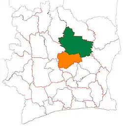 | |
| Katiola Department | ||
| Niakaramandougou Department | ||
* also a commune | ||
- ↑ "RGPH 2014, Répertoire des localités, Région Hambol" (PDF). ins.ci. Retrieved 5 August 2019.
This article is issued from Wikipedia. The text is licensed under Creative Commons - Attribution - Sharealike. Additional terms may apply for the media files.