Tagadi | |
|---|---|
Town and sub-prefecture | |
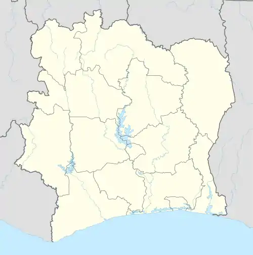  Tagadi Location in Ivory Coast | |
| Coordinates: 8°38′N 2°38′W / 8.633°N 2.633°W | |
| Country |  Ivory Coast Ivory Coast |
| District | Zanzan |
| Region | Gontougo |
| Department | Bondoukou |
| Population (2014)[1] | |
| • Total | 34,440 |
| Time zone | UTC+0 (GMT) |
Tagadi is a town in northeastern Ivory Coast. It is a sub-prefecture of Bondoukou Department in Gontougo Region, Zanzan District. Seven kilometres east of town is a border crossing with Ghana.
Tagadi was a commune until March 2012, when it became one of 1126 communes nationwide that were abolished.[2]
In 2014, the population of the sub-prefecture of Tagadi was 34,440.[3]
Villages
The seven villages of the sub-prefecture of Tagadi and their population in 2014 are:[3]
- Bandolé (3 914)
- Kamala (8 303)
- Kohodio (2 248)
- Marahui (11 438)
- Poukoubè (2 109)
- Sangabili (1 047)
- Tagadi (5 381)
Notes
- ↑ "Côte d'Ivoire". geohive.com. Retrieved 14 December 2015.
- ↑ "Le gouvernement ivoirien supprime 1126 communes, et maintient 197 pour renforcer sa politique de décentralisation en cours", news.abidjan.net, 7 March 2012.
- 1 2 "RGPH 2014, Répertoire des localités, Région Gontougo" (PDF). ins.ci. Retrieved 5 August 2019.
Regional seat: Bondoukou | ||
| Bondoukou Department | 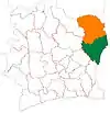 | |
| Koun-Fao Department | ||
| Sandégué Department | ||
| Tanda Department | ||
| Transua Department | ||
* also a commune | ||
This article is issued from Wikipedia. The text is licensed under Creative Commons - Attribution - Sharealike. Additional terms may apply for the media files.