| Taungthonton | |
|---|---|
 Taungthonton | |
| Highest point | |
| Elevation | 1,680 m (5,510 ft) |
| Coordinates | 24°58′N 95°48′E / 24.96°N 95.80°E |
| Geography | |
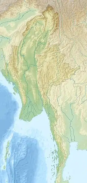
| Location | Sagaing Region and Kachin State |
| Geology | |
| Mountain type | Stratovolcano |
| Volcanic arc/belt | Myanmar Central Basin |
| Last eruption | Unknown |
Taungthonton is a large inactive stratovolcano in the Sagaing Region and Kachin, northern Myanmar.[1] There have been no recorded eruptions associated with this volcano although it is evidence of convergence between the Indian Plate and the Burma Plate.[2]
References
- ↑ Satyabala, S. P. (2003). "Oblique Plate Convergence in the Indo-Burma (Myanmar) Subduction Region". Pure and Applied Geophysics. 160 (9): 1611. Bibcode:2003PApGe.160.1611S. doi:10.1007/s00024-003-2378-0. S2CID 129735921.
- ↑ Satyabala, S. P. (1998). "Subduction in the Indo-Burma region: Is it still active?". Geophysical Research Letters. 25 (16): 3189–3192. Bibcode:1998GeoRL..25.3189S. doi:10.1029/98GL02256.
This article is issued from Wikipedia. The text is licensed under Creative Commons - Attribution - Sharealike. Additional terms may apply for the media files.