Tejuçuoca | |
|---|---|
 Flag  Coat of arms | |
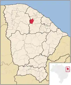 Location in Ceará state | |
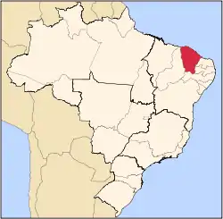
 Tejuçuoca Location in Brazil | |
| Coordinates: 4°01′S 39°31′W / 4.017°S 39.517°W | |
| Country | Brazil |
| Region | Northeast |
| State | Ceará |
| Area | |
| • Total | 750.6 km2 (289.8 sq mi) |
| Population (2020 [1]) | |
| • Total | 19,371 |
| • Density | 26/km2 (67/sq mi) |
| Time zone | UTC−3 (BRT) |
Tejuçuoca is a municipal of the state of Ceará (CE), located in the northeast of Brazil.
- population: 19,371 (2020)
- Area: 750.605 km²
References
Capital: Fortaleza | |||||||||||||||||||||
|  | ||||||||||||||||||||
|
| |||||||||||||||||||||
| |||||||||||||||||||||
| |||||||||||||||||||||
| |||||||||||||||||||||
| |||||||||||||||||||||
This article is issued from Wikipedia. The text is licensed under Creative Commons - Attribution - Sharealike. Additional terms may apply for the media files.