| Terminal Range | |
|---|---|
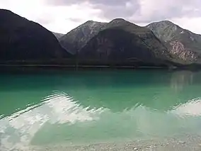 Terminal Range and Muncho Lake seen from the Alaska Highway | |
| Highest point | |
| Elevation | 1,772 m (5,814 ft) |
| Listing | Ranges of the Canadian Rockies |
| Geography | |
 Location in British Columbia 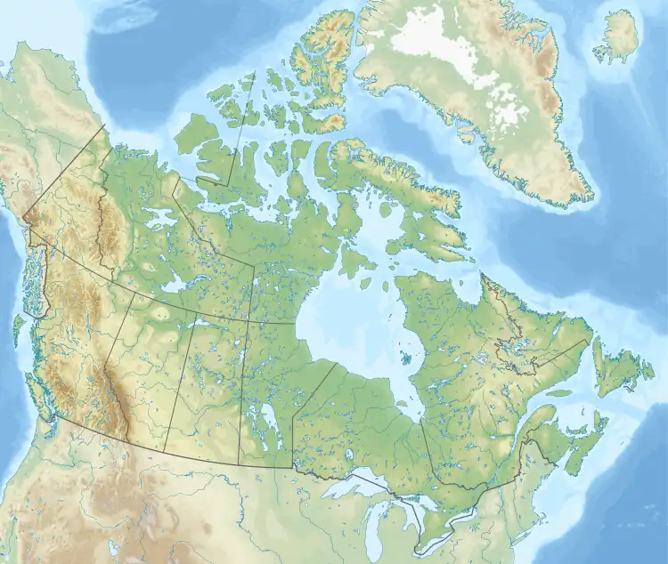 Terminal Range (Canada) | |
| Country | Canada |
| Province | British Columbia |
| Range coordinates | 59°15′N 126°13′W / 59.250°N 126.217°W[1] |
| Parent range | Muskwa Ranges Canadian Rockies |
| Borders on | Sentinel Range |
| Topo map | NTS 94N/04[1] |
The Terminal Range is the northernmost mountain range of the Canadian Rockies, so-named for its position at the northern terminus of the Rockies.[2] Lying west of Muncho Lake and the Trout River, its northern perimeter is the Liard River. The Sentinel Range lies to its east.[3]
See also
References
- 1 2 "Terminal Range". Geographical Names Data Base. Natural Resources Canada. Retrieved 2023-07-06.
- ↑ "Terminal Range". BC Geographical Names. Retrieved 2023-07-06.
- ↑ "Sentinel Range". BC Geographical Names. Retrieved 2023-07-06.
This article is issued from Wikipedia. The text is licensed under Creative Commons - Attribution - Sharealike. Additional terms may apply for the media files.