Ternuvate
Тернувате | |
|---|---|
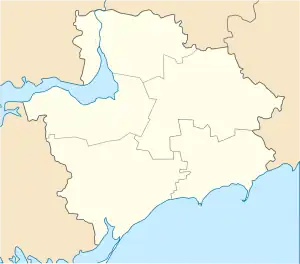 Ternuvate Location of Kamiane 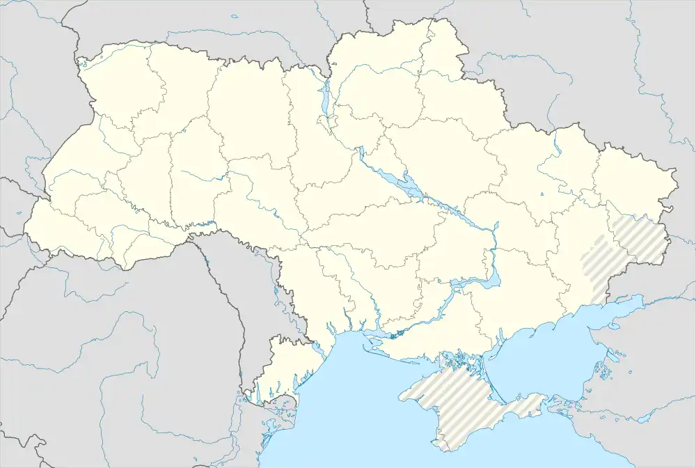 Ternuvate Ternuvate (Ukraine) | |
| Coordinates: 47°49′47″N 36°07′48″E / 47.82972°N 36.13000°E | |
| Country | |
| Oblast | Zaporizhzhia Oblast |
| Raion | Zaporizhzhia Raion |
| Founded | 1898[1] |
| Settlement status | 1946[1] |
| Area | |
| • Total | 2.4 km2 (0.9 sq mi) |
| Elevation | 154 m (505 ft) |
| Population (2022) | |
| • Total | 1,250 |
| • Density | 520/km2 (1,300/sq mi) |
| Time zone | UTC+2 (EET) |
| • Summer (DST) | UTC+3 (EEST) |
| Postal code | 70150 |
| Area code | +380 6144 |
| Climate | Dfa |
Ternuvate (Ukrainian: Тернувате) is an urban-type settlement in Zaporizhzhia Raion, Zaporizhzhia Oblast, southern Ukraine. It was formerly administered under Novomykolaivka Raion before 2020. Population: 1,250 (2022 estimate).[3] Ternuvate is the administrative center of the Ternuvate Council, a local government body that also administers three other villages.
The settlement was first founded in 1898 as a settlement of Haichur.[1] After World War II, it was renamed Ternuvate.[1]
References
- 1 2 3 4 Ternuvate, Novomykolaivka Raion. The History of Cities and Villages of the Ukrainian SSR.
- ↑ Ternuvate. mistUA.
- ↑ Чисельність наявного населення України на 1 січня 2022 [Number of Present Population of Ukraine, as of January 1, 2022] (PDF) (in Ukrainian and English). Kyiv: State Statistics Service of Ukraine. Archived (PDF) from the original on 4 July 2022.
External links
 Media related to Category:Ternuvate at Wikimedia Commons
This article is issued from Wikipedia. The text is licensed under Creative Commons - Attribution - Sharealike. Additional terms may apply for the media files.