Thamud | |
|---|---|
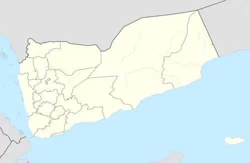 Thamud Location in Yemen | |
| Coordinates: 17°18′N 49°55′E / 17.300°N 49.917°E | |
| Country | |
| Governorate | Hadhramaut Governorate |
| Time zone | UTC+3 (Yemen Standard Time) |
Thamud (Arabic: ثمود) is a town in northeastern Yemen. It is located at around 17°18′0″N 49°55′0″E / 17.30000°N 49.91667°E.
Climate
Thamud has a hot desert climate (Köppen climate classification: BWh). The average annual temperature is 24.1 °C. The average annual rainfall is 90 mm.
| Climate data for Thamud | |||||||||||||
|---|---|---|---|---|---|---|---|---|---|---|---|---|---|
| Month | Jan | Feb | Mar | Apr | May | Jun | Jul | Aug | Sep | Oct | Nov | Dec | Year |
| Mean daily maximum °C (°F) | 23.4 (74.1) |
25.1 (77.2) |
28.0 (82.4) |
30.8 (87.4) |
33.5 (92.3) |
35.1 (95.2) |
33.8 (92.8) |
33.5 (92.3) |
32.6 (90.7) |
30.2 (86.4) |
27.1 (80.8) |
24.7 (76.5) |
29.8 (85.7) |
| Daily mean °C (°F) | 17.8 (64.0) |
19.5 (67.1) |
22.3 (72.1) |
25.0 (77.0) |
27.8 (82.0) |
29.2 (84.6) |
28.4 (83.1) |
28.1 (82.6) |
27.1 (80.8) |
23.9 (75.0) |
20.9 (69.6) |
19.0 (66.2) |
24.1 (75.3) |
| Mean daily minimum °C (°F) | 12.2 (54.0) |
13.9 (57.0) |
16.6 (61.9) |
19.2 (66.6) |
22.2 (72.0) |
23.4 (74.1) |
23.0 (73.4) |
22.8 (73.0) |
21.6 (70.9) |
17.7 (63.9) |
14.7 (58.5) |
13.4 (56.1) |
18.4 (65.1) |
| Average precipitation mm (inches) | 18 (0.7) |
12 (0.5) |
15 (0.6) |
16 (0.6) |
4 (0.2) |
0 (0) |
0 (0) |
1 (0.0) |
0 (0) |
1 (0.0) |
9 (0.4) |
14 (0.6) |
90 (3.6) |
| Source: Climate-Data.org[1] | |||||||||||||
References
- ↑ "Climate: Thamud - Climate-Data.org". Retrieved November 3, 2017.
This article is issued from Wikipedia. The text is licensed under Creative Commons - Attribution - Sharealike. Additional terms may apply for the media files.