| The Girdle | |
|---|---|
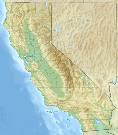 Location of The Girdle in California[1] | |
| Highest point | |
| Elevation | 522 m (1,713 ft) |
| Geography | |
| Country | United States |
| State | California |
| District | Sonoma County |
| Range coordinates | 38°42′42.678″N 123°9′19.018″W / 38.71185500°N 123.15528278°W |
| Topo map | USGS Tombs Creek |
The Girdle is a mountain range in Sonoma County, California.[1]
References
- 1 2 "The Girdle". Geographic Names Information System. United States Geological Survey, United States Department of the Interior. Retrieved 2009-05-04.
This article is issued from Wikipedia. The text is licensed under Creative Commons - Attribution - Sharealike. Additional terms may apply for the media files.