The Outback Highway Barndioota Road | |
|---|---|
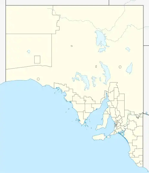 South end North end | |
| Coordinates | |
| General information | |
| Type | Highway |
| Length | 272 km (169 mi)[1] |
| Route number(s) | (Hawker–Lyndhurst) |
| Former route number | Entire route |
| Major junctions | |
| South end | Hawker, South Australia |
| North end | Oodnadatta Track Marree, South Australia |
| Location(s) | |
| Region | Far North[2] |
| Major settlements | Parachilna, Leigh Creek, Lyndhurst |
| Highway system | |
The Outback Highway[3] (possibly also known as Barndioota Road) is the road from Hawker along the western side of the Flinders Ranges through Leigh Creek to Marree.[4] It is designated as part of route B83 from Hawker to Lyndhurst. Route B83 continues south from Hawker along the Flinders Ranges Way.
Major intersections
| LGA[5] | Location[1][6] | km[1] | mi | Destinations | Notes |
|---|---|---|---|---|---|
| Flinders Ranges | Hawker | 0 | 0.0 | Flinders Ranges Way (east) – Blinman | Southern terminus of highway, route B83 continues southwest along Flinders Ranges Way |
| Pastoral Unincorporated Area | Parachilna | 81 | 50 | Parachilna Gorge Road – Blinman | |
| Lyndhurst | 193 | 120 | Strzelecki Track – Innamincka | Northern terminus of route B83 | |
| Marree | 272 | 169 | Birdsville Track – Birdsville | ||
| Oodnadatta Track – William Creek, Oodnadatta | Northern terminus of highway | ||||
| |||||
References
- 1 2 3 Google (30 May 2022). "The Outback Highway" (Map). Google Maps. Google. Retrieved 30 May 2022.
- ↑ "Location SA Map viewer with regional layers". Government of South Australia. Retrieved 16 June 2022.
- ↑ "Outback Road Names" (PDF). Government of South Australia. January 2015. Rack Plan 768 sheet 4 of 5. Retrieved 25 July 2021.
- ↑ "Outback Road Names" (PDF). Government of South Australia. January 2014. Rack Plan 768 sheet 2 of 5. Retrieved 25 July 2021.
- ↑ "Location SA Map viewer with LGA layers". Government of South Australia. Retrieved 16 June 2022.
- ↑ "Location SA Map viewer with suburb layers". Government of South Australia. Retrieved 16 June 2022.
Road infrastructure in South Australia | ||
|---|---|---|
| Expressways |
| |
| Interstate highways | ||
| State highways | ||
| Arterial roads |
| |
| Outback tracks | ||
This article is issued from Wikipedia. The text is licensed under Creative Commons - Attribution - Sharealike. Additional terms may apply for the media files.