Thorning | |
|---|---|
Town | |
.JPG.webp) Thorning Church | |
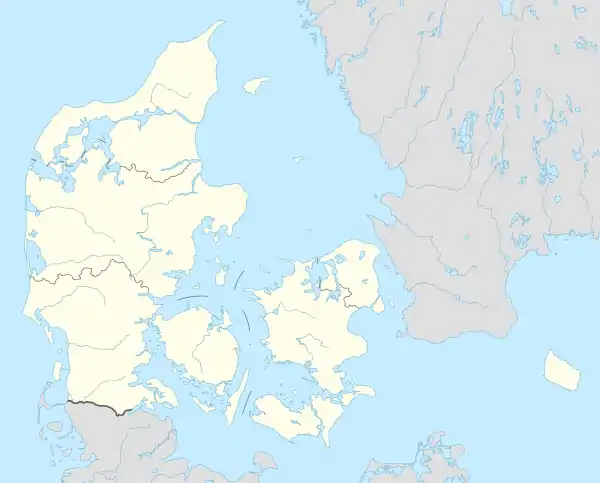 Thorning Location in Denmark 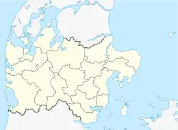 Thorning Thorning (Denmark Central Denmark Region) | |
| Coordinates: 56°17′11″N 9°19′56″E / 56.28639°N 9.33222°E | |
| Country | Denmark |
| Region | Region Midtjylland |
| Municipality | Silkeborg Municipality |
| Area | |
| • Urban | 0.96 km2 (0.37 sq mi) |
| Population (2023)[1] | |
| • Urban | 999 |
| • Urban density | 1,000/km2 (2,700/sq mi) |
| Time zone | UTC+1 (CET) |
| • Summer (DST) | UTC+2 (CEST) |
| Postal code | DK-8620 Kjellerup |
Thorning is a town located in Silkeborg Municipality in Region Midtjylland in Jutland in central Denmark.
Geography
Its territory has two differentiated zones: the southwestern part is occupied by the Kompedal Plantage forest while the northeastern part is dedicated to agriculture.[2] It is characterized by the presence of gentle hills.[2] Haller Å it runs through its southern part and Tange Sø runs through the central and north.[2] The latter also passes next to the urban area. Nipgård Sø is also located north of the town.[2]
References
- ↑ "BY3: Population 1. January by rural and urban areas, area and population density". Statistics Denmark.
- 1 2 3 4 "Der vises administrativ inddeling: Kirkeling". Dig Dag (Digitalt atlas over Danmarks historisk-administrative geografi) (in Danish). Retrieved 8 November 2017.
This article is issued from Wikipedia. The text is licensed under Creative Commons - Attribution - Sharealike. Additional terms may apply for the media files.