Titiribí | |
|---|---|
Municipality and town | |
 View of Titiribí | |
.svg.png.webp) Flag  Seal | |
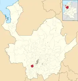 Location of the municipality and town of Titiribí in the Antioquia Department of Colombia | |
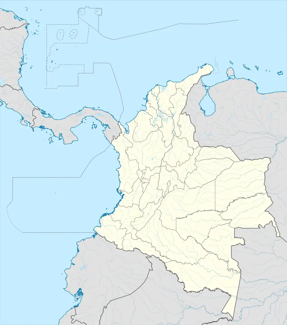 Titiribí Location in Colombia | |
| Coordinates: 6°3′45″N 75°47′37″W / 6.06250°N 75.79361°W | |
| Country | |
| Department | |
| Subregion | Southwestern |
| Area | |
| • Total | 142 km2 (55 sq mi) |
| Elevation | 1,550 m (5,090 ft) |
| Population (Census 2018[2]) | |
| • Total | 8,316 |
| • Density | 59/km2 (150/sq mi) |
| Time zone | UTC-5 (Colombia Standard Time) |
Titiribí is a town and municipality in the Colombian department of Antioquia. Located at an elevation of 1,550 m (5,090 ft) above sea level, it is part of the sub-region of Southwestern Antioquia.
References
- ↑ "Municipalities of Colombia". statoids. Retrieved 28 April 2020.
- ↑ "Censo Nacional de Población y Vivienda 2018" (in Spanish). DANE. Retrieved 28 April 2020.
This article is issued from Wikipedia. The text is licensed under Creative Commons - Attribution - Sharealike. Additional terms may apply for the media files.