 Toftarøyna Location of the island  Toftarøyna Toftarøyna (Norway) | |
| Geography | |
|---|---|
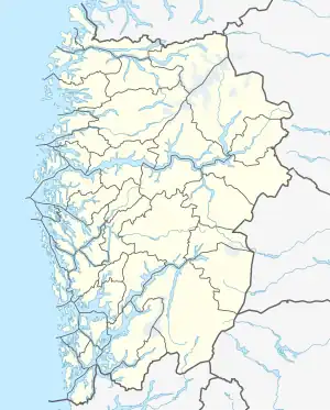
| Location | Vestland, Norway |
| Coordinates | 60°11′19″N 5°03′45″E / 60.1886°N 5.0625°E |
| Area | 9.1 km2 (3.5 sq mi) |
| Length | 5.3 km (3.29 mi) |
| Width | 3.2 km (1.99 mi) |
| Highest elevation | 84 m (276 ft) |
| Highest point | Sælsfjellet |
| Administration | |
Norway | |
| County | Vestland |
| Municipality | Øygarden Municipality |
Toftøya or Toftarøyna is an island in Øygarden Municipality in Vestland county, Norway.[1]
Geography
The 9.1-square-kilometre (3.5 sq mi) island lies just south of the large island of Sotra, along the northern side of the Korsfjorden. The village of Klokkarvik lies about 5 kilometres (3.1 mi) northeast of the island.
The island is connected to Sotra by a bridge on County Road 200. The island has 3 main village areas: Hummelsund (on the south side),[2] Vikso (on the southwest side), and Tofta (on the west side).
See also
References
- ↑ "Toftøya, Sund (Hordaland)" (in Norwegian). yr.no. Retrieved 2014-12-11.
- ↑ Store norske leksikon. "Hummelsund" (in Norwegian). Retrieved 2014-12-11.
This article is issued from Wikipedia. The text is licensed under Creative Commons - Attribution - Sharealike. Additional terms may apply for the media files.