Toler | |
|---|---|
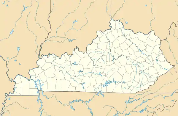 Toler Location within the state of Kentucky  Toler Toler (the United States) | |
| Coordinates: 37°38′14″N 82°15′9″W / 37.63722°N 82.25250°W | |
| Country | United States |
| State | Kentucky |
| County | Pike |
| Elevation | 679 ft (207 m) |
| Time zone | UTC-5 (Eastern (EST)) |
| • Summer (DST) | UTC-4 (EDT) |
| GNIS feature ID | 505319[1] |
Toler is an unincorporated community and coal town in Pike County, Kentucky, United States. Their post office closed in 1965.[2]
References

This article is issued from Wikipedia. The text is licensed under Creative Commons - Attribution - Sharealike. Additional terms may apply for the media files.