Torda
| |
|---|---|
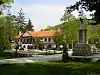
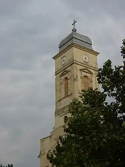 Saint John of Nepomuk Catholic Church | |
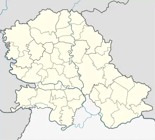 Torda Location of Torda within Serbia 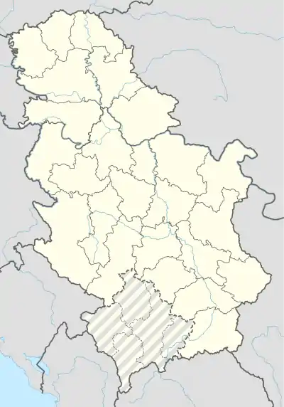 Torda Torda (Serbia)  Torda Torda (Europe) | |
| Coordinates: 45°35′05″N 20°27′16″E / 45.58472°N 20.45444°E | |
| Country | Serbia |
| Province | Vojvodina |
| District | Central Banat |
| Elevation | 75 m (246 ft) |
| Population (2002) | |
| • Torda | 1,771 |
| Time zone | UTC+1 (CET) |
| • Summer (DST) | UTC+2 (CEST) |
| Postal code | 23214 |
| Area code | +381(0)23 |
| Car plates | ZR |
Torda (Serbian Cyrillic: Торда; Hungarian: Torontáltorda or Torda) is a village in Serbia. It is situated in the Žitište municipality, in the Central Banat District, Vojvodina province. The village has a Hungarian ethnic majority (86.56%) and its population numbering 1,771 people (2002 census). The village was settled in 1789 by the Pejačević family.
Geography
The surrounding villages include: Banatsko Karađorđevo, Čestereg, Banatski Dvor, Melenci, Bašaid, etc.
Historical population
- 1961: 3,803
- 1971: 3,345
- 1981: 2,697
- 1991: 2,183
See also
References
- Slobodan Ćurčić, Broj stanovnika Vojvodine, Novi Sad, 1996.
- József Dobai, Torda Krónikája, Novi Sad, 2012
External links
- History of Torda (in Hungarian)
This article is issued from Wikipedia. The text is licensed under Creative Commons - Attribution - Sharealike. Additional terms may apply for the media files.