| Tordsnose | |
|---|---|
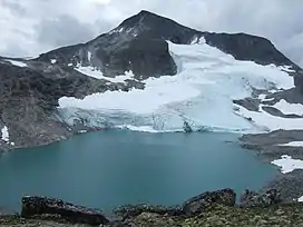 Tordsnose. | |
| Highest point | |
| Elevation | 1,975 m (6,480 ft) |
| Prominence | 685 m (2,247 ft) |
| Coordinates | 62°08′32″N 07°39′12″E / 62.14222°N 7.65333°E |
| Geography | |
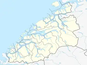
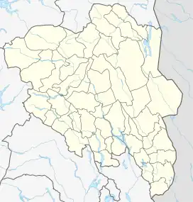
| Location | Fjord, Møre og Romsdal and Skjåk, Innlandet, Norway |
| Parent range | Tafjordfjella |
| Topo map | 1319 III Tafjord |
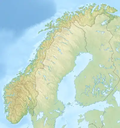
Tordsnose is a mountain on the border of Fjord Municipality (in Møre og Romsdal county) and Skjåk Municipality (in Innlandet county) in Norway. The 1,975-metre (6,480 ft) tall mountain lies within the Tafjordfjella mountain range and within Reinheimen National Park, about 6 kilometres (3.7 mi) southwest of Karitinden and 8.5 kilometres (5.3 mi) south of Puttegga. The lake Grønvatnet sits 3 kilometres (1.9 mi) south of the mountain and the lake Tordsvatnet lies 8 kilometres (5.0 mi) straight east of the mountain. Other mountains surrounding it include Veltdalseggi to the east and Vulueggi and Krosshø to the south.[1]
See also
References
- ↑ Bjørstad, Petter. "The Major Mountains of Møre og Romsdal". Retrieved 2010-10-15.
This article is issued from Wikipedia. The text is licensed under Creative Commons - Attribution - Sharealike. Additional terms may apply for the media files.