| Tossal d'Orenga | |
|---|---|
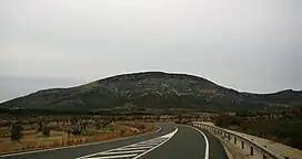 Tossal d'Orenga seen from the CV-15 road | |
| Highest point | |
| Elevation | 1,144 m (3,753 ft) |
| Listing | List of mountains in the Valencian Community |
| Coordinates | 40°23′15″N 0°04′15″W / 40.38750°N 0.07083°W |
| Geography | |
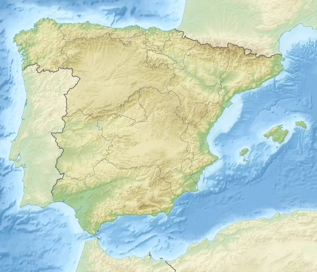 Tossal d'Orenga Spain | |
| Location | Alt Maestrat (Valencian Community) |
| Parent range | Serra d'En Celler, Sistema Ibérico |
| Geology | |
| Mountain type | Limestone |
| Climbing | |
| First ascent | Unknown |
| Easiest route | From Albocàsser |
Tossal d'Orenga is a mountain of the Serra d'En Celler range, Valencian Community, Spain. It reaches an elevation of 1,144 metres (3,753 ft) above sea level.[1] Its name means literally "Peak of Oregano" in Catalan, owing to the presence of the herb in its slopes.
Located within the Ares del Maestrat municipal term, in a relatively uninhabited area, close to the CV-12 road, it is a popular mountain among those who do paragliding in the region.
See also
References
External links
This article is issued from Wikipedia. The text is licensed under Creative Commons - Attribution - Sharealike. Additional terms may apply for the media files.