Tshane Airport | |||||||||||
|---|---|---|---|---|---|---|---|---|---|---|---|
| Summary | |||||||||||
| Serves | Tshane, Botswana | ||||||||||
| Elevation AMSL | 1,128 m / 3,700 ft | ||||||||||
| Coordinates | 24°01′S 021°53′E / 24.017°S 21.883°E | ||||||||||
| Map | |||||||||||
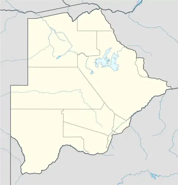 FBTE Location of airport in Botswana | |||||||||||
| Runways | |||||||||||
| |||||||||||
Tshane Airport (ICAO: FBTE) is an airport serving the village of Tshane, Botswana. The Tshane salt pan is very flat and has many tracks but no marked runway.
See also
References
- ↑ Airport information for Tshane Airport at Great Circle Mapper.
- ↑ Google Maps - Tshane salt pan
External links
- OpenStreetMap - Tshane
- Fallingrain - Tshane Airport
- Accident history for Tshane Airport at Aviation Safety Network
This article is issued from Wikipedia. The text is licensed under Creative Commons - Attribution - Sharealike. Additional terms may apply for the media files.