40°11′13″N 44°16′00″E / 40.18694°N 44.26667°E
Tsiatsan Ծիածան | |
|---|---|
 Tsiatsan Ծիածան | |
| Coordinates: 40°11′13″N 44°16′00″E / 40.18694°N 44.26667°E | |
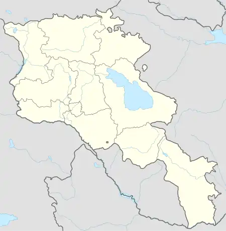
| Country | Armenia |
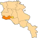
| Marz (Province) | Armavir |
| Population (2008) | |
| • Total | 1,141 |
| Time zone | UTC+4 ( ) |
Tsiatsan (Armenian: Ծիածան – meaning "rainbow"; until 1978, Grampa) is a village in the Armavir Province of Armenia.
See also
References
- Tsiatsan at GEOnet Names Server
- Report of the results of the 2001 Armenian Census, Statistical Committee of Armenia
- World Gazeteer: Armenia – World-Gazetteer.com
- Kiesling, Brady (2005), Rediscovering Armenia: Guide, Yerevan, Armenia: Matit Graphic Design Studio
- Kiesling, Brady (June 2000). Rediscovering Armenia: An Archaeological/Touristic Gazetteer and Map Set for the Historical Monuments of Armenia (PDF). Archived (PDF) from the original on 6 November 2021.
This article is issued from Wikipedia. The text is licensed under Creative Commons - Attribution - Sharealike. Additional terms may apply for the media files.