| Tyräjärvi | |
|---|---|
 Tyräjärvi | |
| Coordinates | 65°28′N 28°42′E / 65.467°N 28.700°E |
| Type | Lake |
| Primary inflows | Hutunsalmi strait, lake Koviojärvi |
| Primary outflows | river Tyräjoki |
| Catchment area | Iijoki |
| Basin countries | Finland |
| Surface area | 23.868 km2 (9.215 sq mi) |
| Average depth | 4.02 m (13.2 ft) |
| Max. depth | 15.64 m (51.3 ft) |
| Water volume | 0.096 km3 (78,000 acre⋅ft) |
| Shore length1 | 64.5 km (40.1 mi) |
| Surface elevation | 223.8 m (734 ft) |
| Frozen | December–April |
| Settlements | Taivalkoski |
| References | [1] |
| 1 Shore length is not a well-defined measure. | |
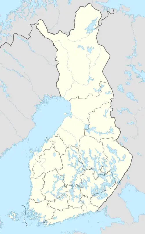
Tyräjärvi is a medium-sized lake in the Iijoki main catchment area. It is located in the region Northern Ostrobothnia.[1] In Finland there are three lakes with the name Tyräjärvi, of which this one is the largest.[2]
See also
References
- 1 2 Tyräjärvi in the Jarviwiki Web Service. Retrieved 2014-04-05. (in English)
- ↑ Tyräjärvi in Jarviwiki. Retrieved 2014-04-05. (in English)
This article is issued from Wikipedia. The text is licensed under Creative Commons - Attribution - Sharealike. Additional terms may apply for the media files.