Upper Tadong | |
|---|---|
city | |
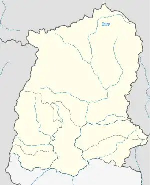 Upper Tadong Location in Sikkim, India  Upper Tadong Upper Tadong (India) | |
| Coordinates: 27°19′00″N 88°36′00″E / 27.3167°N 88.6000°E | |
| Country | |
| State | Sikkim |
| District | Gangtok District |
| Population (2001) | |
| • Total | 14,670 |
| Languages | |
| • Official | Nepali, Bhutia, Lepcha, Limbu, Newari, Rai, Gurung, Mangar, Sherpa, Tamang and Sunwar |
| Time zone | UTC+5:30 (IST) |
| Vehicle registration | SK |
Upper Tadong is a census town in Gangtok District in the Indian state of Sikkim. It falls under Gangtok Municipal Corporation.
Demographics
At the 2001 census of India,[1] Upper Tadong had a population of 14,670. Males constitute 54% of the population and females 46%. Upper Tadong has an average literacy rate of 76%, higher than the national average of 59.5%: male literacy is 80%, and female literacy is 71%. In Upper Tadong, 10% of the population is under 6 years of age.
References
- ↑ "Census of India 2001: Data from the 2001 Census, including cities, villages and towns (Provisional)". Census Commission of India. Archived from the original on 16 June 2004. Retrieved 1 November 2008.
This article is issued from Wikipedia. The text is licensed under Creative Commons - Attribution - Sharealike. Additional terms may apply for the media files.