Ust-Chorna
Усть-Чорна | |
|---|---|
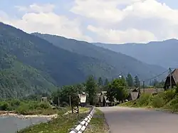 View of the mountains surrounding Ust-Chorna. | |
 Flag | |
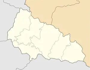 Ust-Chorna Location of Ust-Chorna in Zakarpattia Oblast 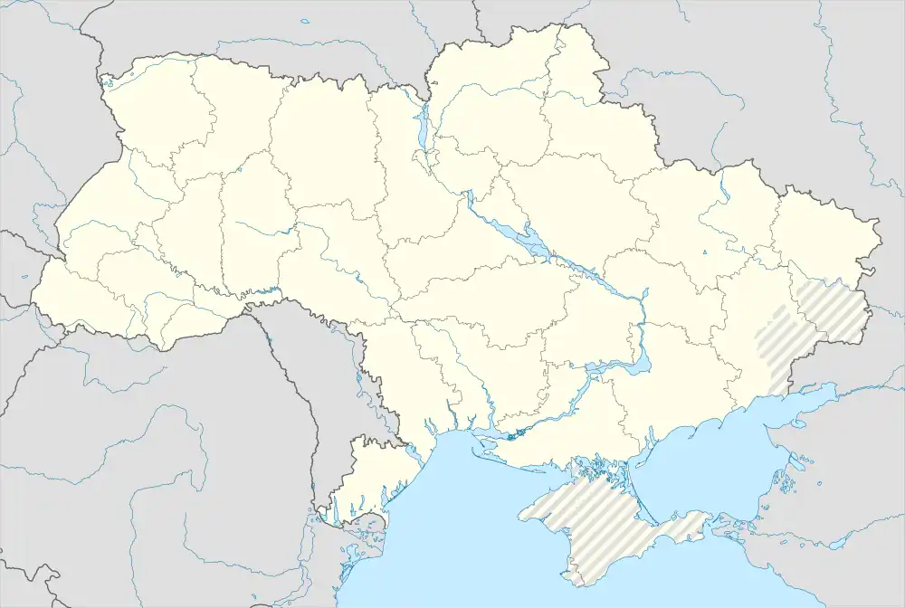 Ust-Chorna Location of Ust-Chorna in Ukraine | |
| Coordinates: 48°19′09″N 23°56′20″E / 48.31917°N 23.93889°E | |
| Country | |
| Oblast | |
| Raion | Tiachiv Raion |
| Established | 1760s |
| Town status | 1957 |
| Elevation | 536 m (1,759 ft) |
| Population (2022) | |
| • Total | |
| Time zone | UTC+2 (EET) |
| • Summer (DST) | UTC+3 (EEST) |
| Postal code | 90520 |
| Area code | +380 3134 |
| Website | rada |
Ust-Chorna (Ukrainian: Усть-Чорна; German: Königsfeld; Hungarian: Királymező; Slovak: Usť-Čorna or historically Kraľovo Pole) is an urban-type settlement in Tiachiv Raion, Zakarpattia Oblast, western Ukraine.[2] The settlement's population was 1,456 as of the 2001 Ukrainian Census.[2] Current population: 1,547 (2022 estimate).[3]
Demographics
Native language according to the 2001 Ukrainian census:[4]
References
Wikimedia Commons has media related to Ust-Chorna.
- ↑ "Ust-Chorna (Zakarpattia Oblast, Tiachiv Raion)". weather.in.ua. Retrieved 25 December 2012.
- 1 2 "Ust-Chorna, Zakarpattia Oblast, Tiachiv Raion". Regions of Ukraine and their Structure (in Ukrainian). Verkhovna Rada of Ukraine. Retrieved 25 December 2012.
- ↑ Чисельність наявного населення України на 1 січня 2022 [Number of Present Population of Ukraine, as of January 1, 2022] (PDF) (in Ukrainian and English). Kyiv: State Statistics Service of Ukraine. Archived (PDF) from the original on 4 July 2022.
- ↑ https://socialdata.org.ua/projects/mova-2001/
This article is issued from Wikipedia. The text is licensed under Creative Commons - Attribution - Sharealike. Additional terms may apply for the media files.