Utting, Arizona | |
|---|---|
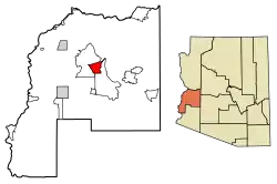 Location in La Paz County, Arizona | |
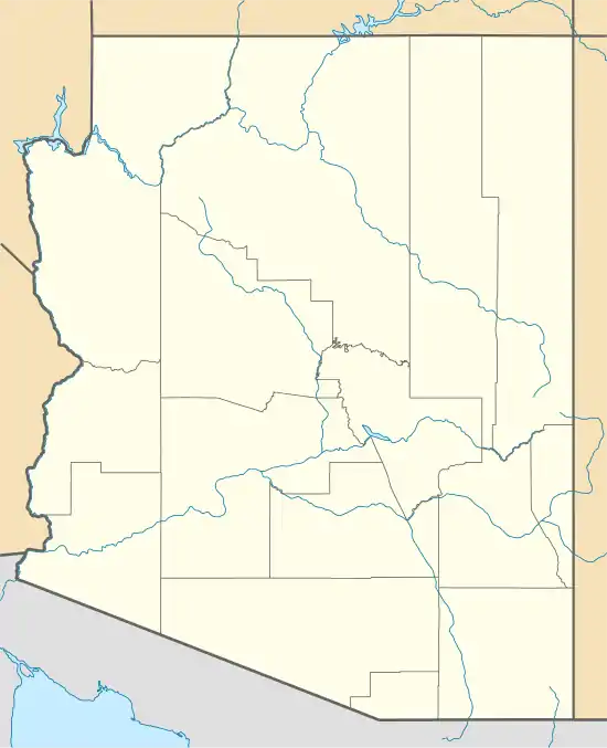 Utting Location in Arizona and the United States  Utting Utting (the United States) | |
| Coordinates: 33°50′20″N 113°53′13″W / 33.83889°N 113.88694°W | |
| Country | United States |
| State | Arizona |
| County | La Paz |
| Area | |
| • Total | 26.60 sq mi (68.89 km2) |
| • Land | 26.60 sq mi (68.89 km2) |
| • Water | 0.00 sq mi (0.00 km2) |
| Elevation | 1,132 ft (345 m) |
| Population (2020) | |
| • Total | 92 |
| • Density | 3.46/sq mi (1.34/km2) |
| Time zone | UTC-7 (Mountain (MST)) |
| ZIP code | 85325[2] |
| Area code | 928 |
| GNIS feature ID | 24669 |
| FIPS code | 04-78400 |
Utting is a census-designated place in La Paz County, Arizona, United States. As of the 2010 census, its population was 126.[3] The community was named after Charles Utting, who fought with the Rough Riders in the Spanish–American War.[4]
Demographics
| Census | Pop. | Note | %± |
|---|---|---|---|
| 2020 | 92 | — | |
| U.S. Decennial Census[5] | |||
References
- ↑ "2020 U.S. Gazetteer Files". United States Census Bureau. Retrieved October 29, 2021.
- ↑ "Utting AZ ZIP Code". zipdatamaps.com. 2023. Retrieved May 3, 2023.
- ↑ "Geographic Identifiers: 2010 Census Summary File 1 (G001), Utting CDP, Arizona". American FactFinder. U.S. Census Bureau. Archived from the original on February 13, 2020. Retrieved August 20, 2019.
- ↑ "Utting". Geographic Names Information System. United States Geological Survey, United States Department of the Interior.
- ↑ "Census of Population and Housing". Census.gov. Retrieved June 4, 2016.
Municipalities and communities of La Paz County, Arizona, United States | ||
|---|---|---|
| Towns | 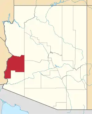 | |
| CDPs | ||
| Populated places | ||
| Indian reservations | ||
| Ghost towns | ||
This article is issued from Wikipedia. The text is licensed under Creative Commons - Attribution - Sharealike. Additional terms may apply for the media files.