| Vair | |
|---|---|
 | |
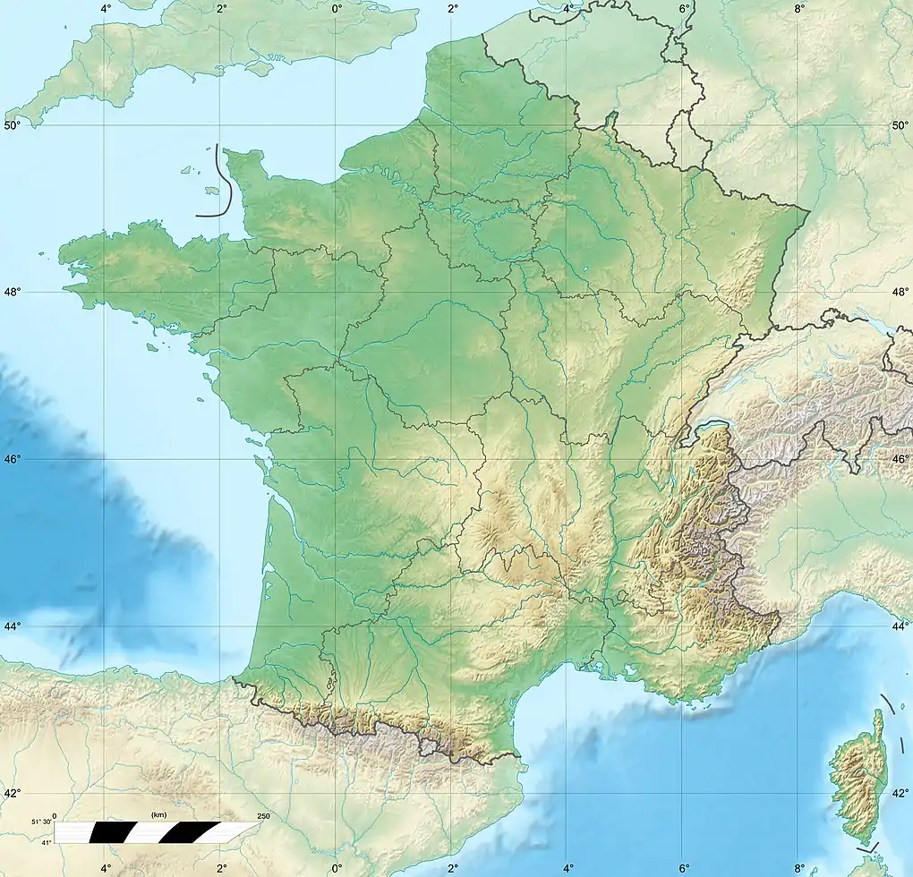 Location of mouth 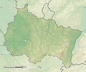 Vair (river) (Grand Est) | |
| Location | |
| Country | France |
| Physical characteristics | |
| Mouth | |
• location | Meuse |
• coordinates | 48°26′58″N 5°41′37″E / 48.4494°N 5.6935°E |
| Length | 65.3 km (40.6 mi) |
| Basin features | |
| Progression | Meuse→ North Sea |
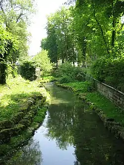
The Vair (French pronunciation: [vɛʁ]) is a 65.3-kilometre (40.6 mi) river in the Vosges department in Grand Est in northeastern France.[1] It rises in Dombrot-le-Sec and flows generally northwest to join the Meuse at Maxey-sur-Meuse.
References
This article is issued from Wikipedia. The text is licensed under Creative Commons - Attribution - Sharealike. Additional terms may apply for the media files.