Valmy, Wisconsin | |
|---|---|
 Valmy Location within the state of Wisconsin | |
| Coordinates: 44°54′29″N 87°15′47″W / 44.90806°N 87.26306°W | |
| Country | |
| State | |
| County | Door |
| Town | Sevastopol |
| Elevation | 653 ft (199 m) |
| Time zone | UTC-6 (Central (CST)) |
| • Summer (DST) | UTC-5 (CDT) |
| Area code | 920 |
| GNIS feature ID | 1576026 [1] |
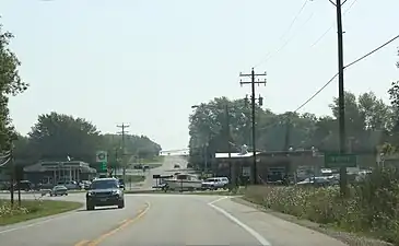
Valmy is a small unincorporated community in the town of Sevastopol, where WIS 57 splits with County Highway T in Door County.[2][3] The community serves as a gateway to the nearby Whitefish Dunes State Park as well as Cave Point County Park.[4]
Gallery
 Looking east at the welcome sign on WIS 57
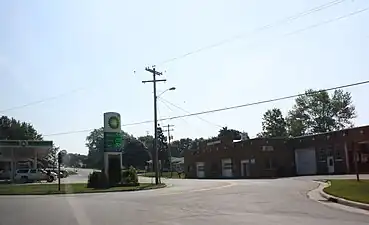 Split of County Trunk Highway T from WIS 57
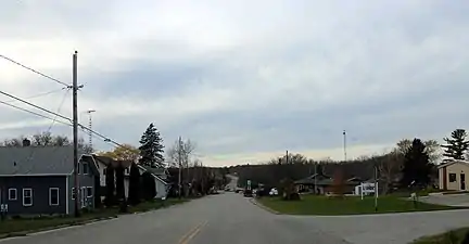 Looking west at Valmy
References
- ↑ "Valmy". Geographic Names Information System. United States Geological Survey, United States Department of the Interior. Retrieved 2009-07-05.
- ↑ "Topographic map". United States Geological Survey. Microsoft Research Maps. Retrieved 2009-07-05.
- ↑ "Google Maps". Google Maps. Retrieved 2009-07-05.
- ↑ Michael And Jean Muckian (September 6, 1992). "WISCONSIN'S DOOR COUNTY OPENS ON THE BEAUTIES OF AUTUMN". Rocky Mountain News. Retrieved 2009-07-05.
External links
- Valmy Thresharee history by Ralph Bochek, Don Rudolph and Pete Devlin, Access Door County, 31:48 long video
Municipalities and communities of Door County, Wisconsin, United States | ||
|---|---|---|
| City | 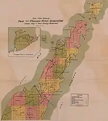 Towns in 1915; the borders remain the same today except for annexations by the City of Sturgeon Bay and the four villages. | |
| Villages | ||
| Towns | ||
| CDPs | ||
| Other communities | ||
| Footnote | ‡Partially located in Kewaunee County | |
This article is issued from Wikipedia. The text is licensed under Creative Commons - Attribution - Sharealike. Additional terms may apply for the media files.