Vik | |
|---|---|
Village | |
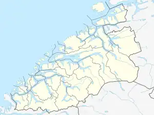 Vik Location in Møre og Romsdal 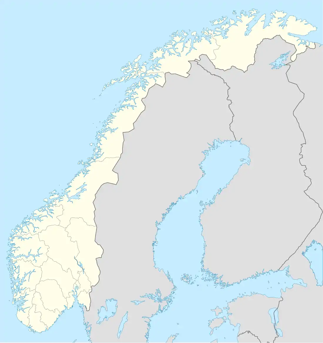 Vik Vik (Norway) | |
| Coordinates: 62°36′36″N 6°56′27″E / 62.6099°N 6.9408°E | |
| Country | Norway |
| Region | Western Norway |
| County | Møre og Romsdal |
| District | Romsdal |
| Municipality | Vestnes Municipality |
| Elevation | 47 m (154 ft) |
| Time zone | UTC+01:00 (CET) |
| • Summer (DST) | UTC+02:00 (CEST) |
| Post Code | 6393 Tomrefjord |
Vik is a village in Vestnes Municipality in Møre og Romsdal county, Norway. It is located along the Tomrefjorden, just north of the village of Tomra and about 8 kilometres (5.0 mi) west-southwest of the village of Vestnes. It is connected with the Tomra area in the inner Tomrefjord.
Vik has an MC club and the society house Idahall–where there is located a football field as well. Down by the shore there is a beach known as "Vikstranda" (literally meaning Vik beach), and a small-boat marina. During the late 1990s to early 2010s there also used to be a fast-food restaurant in the village. North of the Vik village there is a light industrial area known as Trohaugen which is the location of many local businesses and companies.
References
- ↑ "Vik, Vestnes (Møre og Romsdal)". yr.no. Retrieved 2019-07-11.
This article is issued from Wikipedia. The text is licensed under Creative Commons - Attribution - Sharealike. Additional terms may apply for the media files.