Waarland | |
|---|---|
Village | |
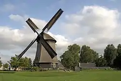 Polder mill near Waarland | |
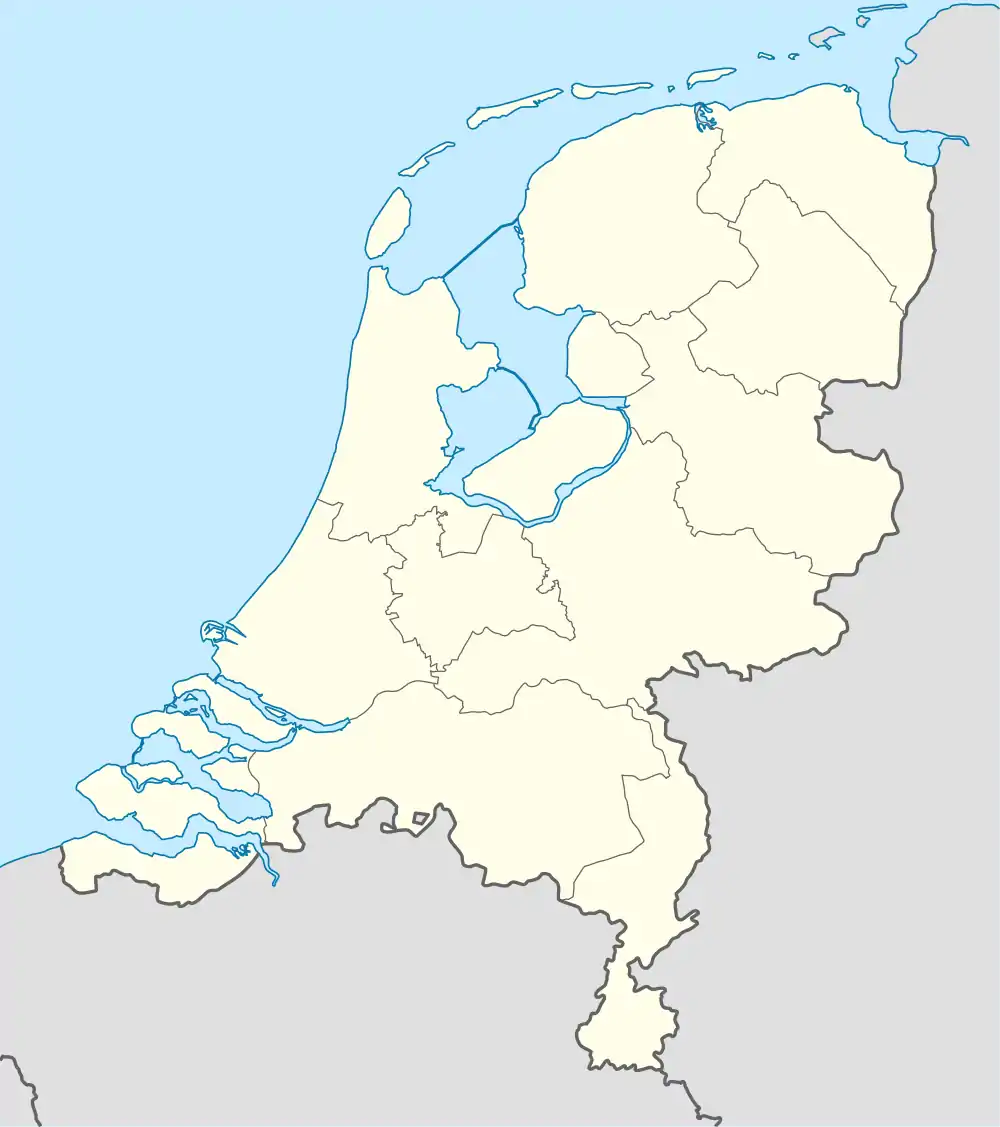 Waarland Location in the Netherlands 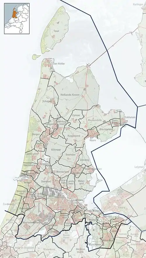 Waarland Location in the province of North Holland in the Netherlands | |
| Coordinates: 52°44′N 4°50′E / 52.733°N 4.833°E | |
| Country | Netherlands |
| Province | North Holland |
| Municipality | Schagen |
| Area | |
| • Total | 9.92 km2 (3.83 sq mi) |
| Elevation | −1.0 m (−3.3 ft) |
| Population (2021)[1] | |
| • Total | 2,690 |
| • Density | 270/km2 (700/sq mi) |
| Time zone | UTC+1 (CET) |
| • Summer (DST) | UTC+2 (CEST) |
| Postal code | 1738[1] |
| Dialing code | 0226 |
Waarland (West Frisian: ´t Waarland) is a village in the Dutch province of North Holland. It is a part of the municipality of Schagen, and lies about 6 km north of Heerhugowaard.
The village was first mentioned in 1665 as "De Waedt Polder", and originally meant "polder enclosed by waterways".[3] The polder mill Waarland was built around 1532. It was in service until 1949 when a pumping station was installed. The windmill was restored in 2017.[4]
References
- 1 2 3 "Kerncijfers wijken en buurten 2021". Central Bureau of Statistics. Retrieved 1 May 2022.
- ↑ "Postcodetool for 1738AA". Actueel Hoogtebestand Nederland (in Dutch). Het Waterschapshuis. Retrieved 1 May 2022.
- ↑ "Waarland - (geografische naam)". Etymologiebank (in Dutch). Retrieved 1 May 2022.
- ↑ "Poldermolen Waarland". Molen database (in Dutch). Retrieved 1 May 2022.
Wikimedia Commons has media related to Waarland.
This article is issued from Wikipedia. The text is licensed under Creative Commons - Attribution - Sharealike. Additional terms may apply for the media files.