Warfstermolen
Warfstermûne | |
|---|---|
Village | |
 | |
 Flag  Coat of arms | |
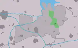 Location in the former Kollumerland municipality | |
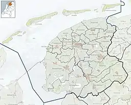 Warfstermolen Location in the Netherlands 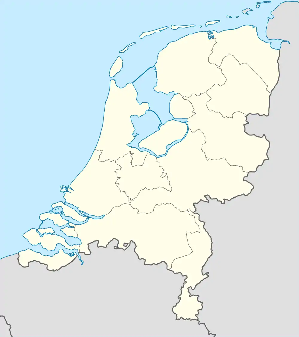 Warfstermolen Warfstermolen (Netherlands) | |
| Coordinates: 53°18′N 6°14′E / 53.300°N 6.233°E | |
| Country | |
| Province | |
| Municipality | Noardeast-Fryslân |
| Area | |
| • Total | 8.29 km2 (3.20 sq mi) |
| Elevation | 1.2 m (3.9 ft) |
| Population (2021)[1] | |
| • Total | 205 |
| • Density | 25/km2 (64/sq mi) |
| Postal code | 9852[1] |
| Dialing code | 0594 |
Warfstermolen (West Frisian: Warfstermûne) (Low Saxon: Warfstermeul) is a village in Noardeast-Fryslân municipality, in the province of Friesland, the Netherlands.[3] It had a population of 203 in January 2017.[4] Before 2019, the village was part of the Kollumerland en Nieuwkruisland municipality.[5]
History
The village was first mentioned in 1574 "wyntmolen staende op de dyk by de Warff", and means "windmill near the settlement on the dike".[6] The dike was built around 1315, and Warfstermolen is a linear settlement along the dike. In 1840, Warfstermolen was home to 115 people.[5]
Gallery
 Street view
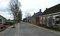 Street view
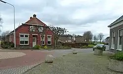
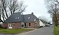
.jpg.webp) Farms in Warfstermolen
Farms in Warfstermolen
References
- 1 2 3 "Kerncijfers wijken en buurten 2021". Central Bureau of Statistics. Retrieved 1 April 2022.
two entries
- ↑ "Postcodetool for 9852TA". Actueel Hoogtebestand Nederland (in Dutch). Het Waterschapshuis. Retrieved 1 April 2022.
- ↑ http://www.warfstermolen.eu/ Dutch
- ↑ Inwonertal en info 2017 - Kollumerland
- 1 2 "Warfstermolen". Plaatsengids (in Dutch). Retrieved 1 April 2022.
- ↑ "Warfstermolen - (geografische naam)". Etymologiebank (in Dutch). Retrieved 1 April 2022.
External links
![]() Media related to Warfstermolen at Wikimedia Commons
Media related to Warfstermolen at Wikimedia Commons
This article is issued from Wikipedia. The text is licensed under Creative Commons - Attribution - Sharealike. Additional terms may apply for the media files.