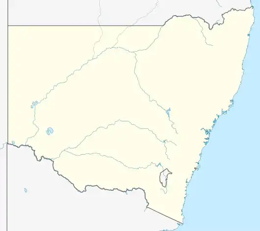

Watagan is a locality in the City of Cessnock, in the Hunter Region of New South Wales, Australia.[2][3][6] It is located east of Laguna.
History
Watagan was previously a part of the locality of Laguna, until 23 October 2015 when Watagan was separated from Laguna. The locality has been previously known as Watagan/Watagon/Wattagan/Wattagon Creek. A school existed at the locality in various guises from January 1862 until December 1944.
References
- ↑ Australian Bureau of Statistics (28 June 2022). "Watagan (suburb and locality)". Australian Census 2021 QuickStats. Retrieved 28 June 2022.
- 1 2 3 "Suburb Search - Local Council Boundaries - Hunter (HT) - Cessnock City Council". New South Wales Division of Local Government. Retrieved 13 January 2016.
- 1 2 3 "Watagan". Geographical Names Register (GNR) of NSW. Geographical Names Board of New South Wales. Retrieved 13 January 2016.
- ↑ "Cessnock". New South Wales Electoral Commission. Retrieved 23 November 2019.
- ↑ "Hunter". Australian Electoral Commission. 19 October 2007. Retrieved 13 January 2016.
- ↑ "Watagan". Land and Property Management Authority - Spatial Information eXchange. New South Wales Land and Property Information. Retrieved 13 January 2016.
This article is issued from Wikipedia. The text is licensed under Creative Commons - Attribution - Sharealike. Additional terms may apply for the media files.