| Water | |
|---|---|
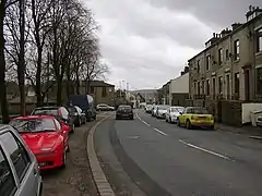 Burnley Road East, Water | |
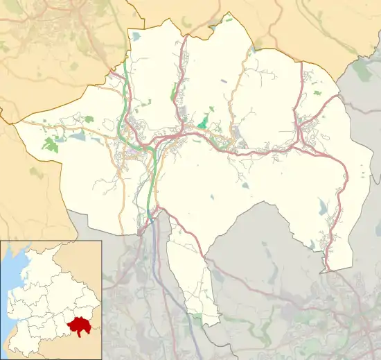 Water Location within Rossendale 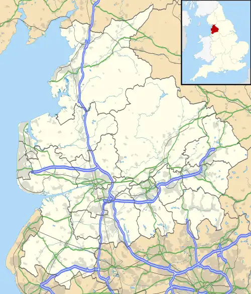 Water Location within Lancashire | |
| Area | 0.2525 km2 (0.0975 sq mi) |
| Population | 835 (2020 estimate) |
| • Density | 3,307/km2 (8,570/sq mi) |
| District | |
| Shire county | |
| Region | |
| Country | England |
| Sovereign state | United Kingdom |
| Post town | ROSSENDALE |
| Postcode district | BB4 |
| Dialling code | 01706 |
| Police | Lancashire |
| Fire | Lancashire |
| Ambulance | North West |
| UK Parliament | |
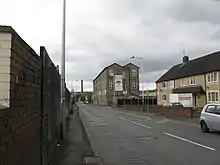
Burnley Road East, Water
Water is a hamlet in the borough of Rossendale, in Lancashire, England. Located north of the village of Lumb. It is mostly made of a few homes, farms, a bistro called "The Water Trough",[1] a primary school and industrial estates.[2][3][4][5] In 2020 it had an estimated population of 835.[6]
References
- ↑ "'We are really excited' - New 'classy' bistro opens in East Lancashire town". Lancashire Telegraph. Retrieved 7 February 2022.
- ↑ "Water Primary School". water.lancs.sch.uk/. Retrieved 7 February 2022.
- ↑ "Pictures of Water, Lancashire, England | England Photography & History". www.picturesofengland.com. Retrieved 7 February 2022.
- ↑ "Water & Lumb". Rossendale Community Directory. Retrieved 7 February 2022.
- ↑ "Peers Clough Farm". Retrieved 7 February 2022.
- ↑ "Water". City Population De. Retrieved 8 February 2022.
This article is issued from Wikipedia. The text is licensed under Creative Commons - Attribution - Sharealike. Additional terms may apply for the media files.