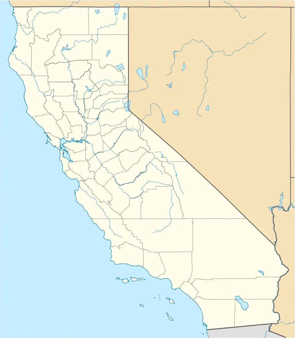
41°31′03″N 124°01′01″W / 41.51750°N 124.01694°W
Waukell Flat | |
|---|---|
Former settlement | |
 Waukell Flat Location in California | |
| Coordinates: 41°31′03″N 124°01′01″W / 41.51750°N 124.01694°W | |
| Country | United States |
| State | California |
| County | Del Norte County |
| Elevation | 23 ft (7 m) |
Waukell Flat (formerly, Wakell Flat)[2] is a former settlement in Del Norte County, California. It was located on the south bank of the Klamath River 4.25 miles (6.8 km) from its mouth,[2] at an elevation of 23 feet (7 m). It still appeared on maps as of 1952.
References
- ↑ U.S. Geological Survey Geographic Names Information System: Waukell Flat, California
- 1 2 Durham, David L. (1998). California's Geographic Names: A Gazetteer of Historic and Modern Names of the State. Clovis, Calif.: Word Dancer Press. p. 165. ISBN 1-884995-14-4.
External links
Municipalities and communities of Del Norte County, California, United States | ||
|---|---|---|
| City | 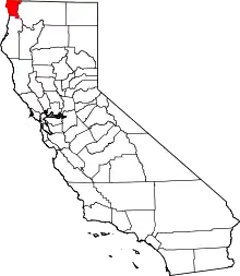 Del Norte County map | |
| CDPs | ||
| Unincorporated communities | ||
| Indian reservations | ||
| Ghost towns | ||
This article is issued from Wikipedia. The text is licensed under Creative Commons - Attribution - Sharealike. Additional terms may apply for the media files.